


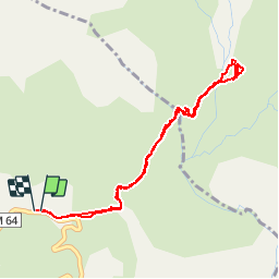


15,5 km | 30 km-effort

Benutzer


Kostenlosegpshiking-Anwendung
 SityTrail
IGN / Geografische Institute
SityTrail World
Die Welt öffnet sich für Sie
Tour Wandern von 4,6 km verfügbar auf Provence-Alpes-Côte d'Azur, Seealpen, Saint-Dalmas-le-Selvage. Diese Tour wird von michel1951 vorgeschlagen.
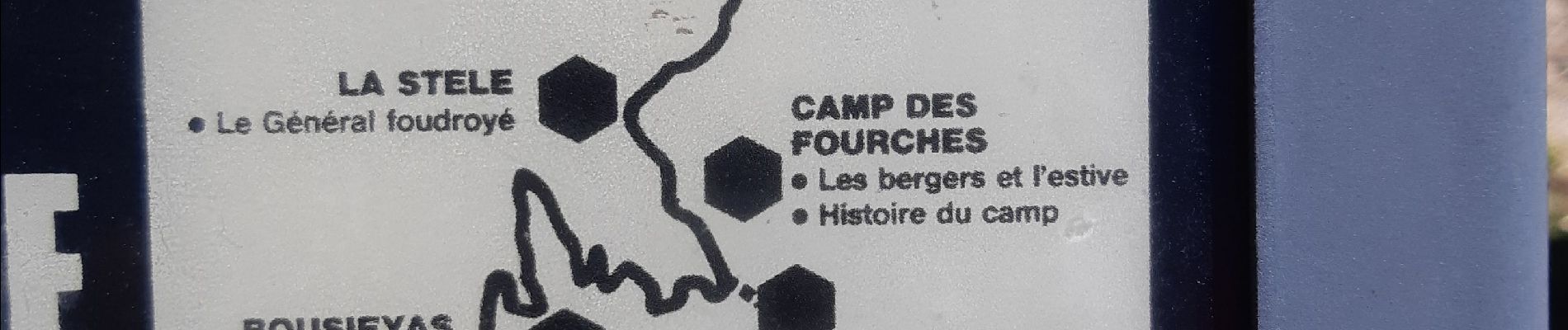
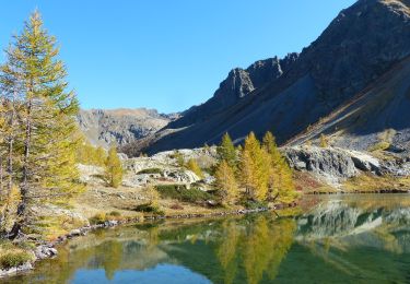
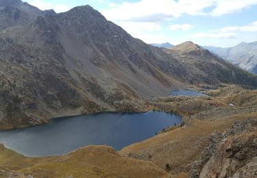
col de pourriac frontière italie


33 Fotos insgesamt. Klicken Sie auf ein Foto, um sie alle in der Galerie zu sehen.

Wandern

Wandern

Wandern

Zu Fuß

Zu Fuß

Zu Fuß

Wandern
Wandern
Wandern