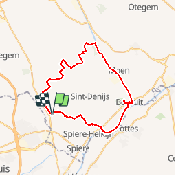

6,7 km | 7,6 km-effort


RCM ... l'esprit rando à vélo et à pied !


Kostenlosegpshiking-Anwendung
 SityTrail
IGN / Geografische Institute
SityTrail World
Die Welt öffnet sich für Sie
Tour Wandern von 25 km verfügbar auf Flandern, Westflandern, Kortrijk. Diese Tour wird von Randonneur Club Marcquois vorgeschlagen.
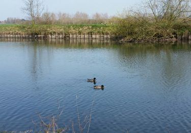
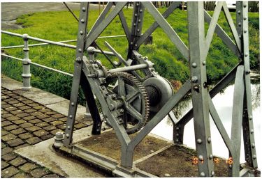
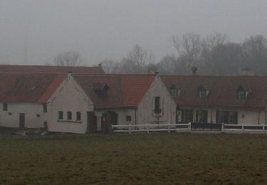
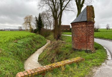
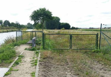
De Kooigem à Bossuit dans la campagne, au bord de l'Escaut et le canal de la Lys à l'Escaut au sud de Zwevegem. Facile, presque plat ....
Zu Fuß

Wandern
Wandern
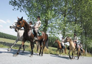
Pferd
Wandern
Wandern
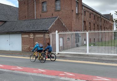
Fahrrad