


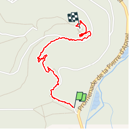

28 km | 37 km-effort


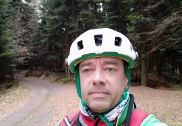
Benutzer


Kostenlosegpshiking-Anwendung
 SityTrail
IGN / Geografische Institute
SityTrail World
Die Welt öffnet sich für Sie
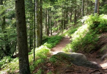
Tour Wandern von 1,5 km verfügbar auf Großer Osten, Vogesen, Étival-Clairefontaine. Diese Tour wird von jptihay vorgeschlagen.
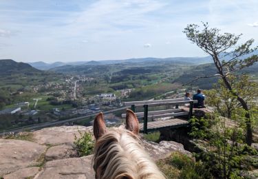
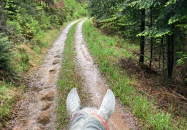
superbe sentier sous la sapiniere et point de vue exceptionnel sur la confluence des vallées avec la Meurthe
Reiten
Reiten

Mountainbike
Mountainbike
Mountainbike
Mountainbike
Mountainbike
Mountainbike
Fahrrad