


7,7 km | 9,3 km-effort


Benutzer


Kostenlosegpshiking-Anwendung
 SityTrail
IGN / Geografische Institute
SityTrail World
Die Welt öffnet sich für Sie
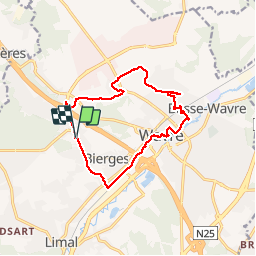
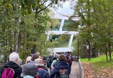
Tour Wandern von 12,3 km verfügbar auf Wallonien, Wallonisch-Brabant, Wavre. Diese Tour wird von jeangulu vorgeschlagen.
Road Runners Wavre.
32ème Marche du Maca beau parcours dans le centre de Wavre au passage caresse sur les fesses du Maca


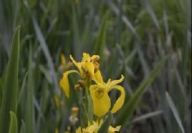
Wandern

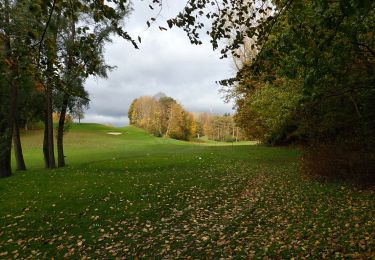
Wandern

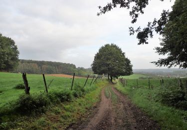
Wandern

Wandern
Wandern

Wandern
Wandern
Wandern
Wandern