


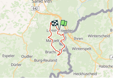


16,1 km | 19,5 km-effort

Randonnez sur et autour des GR ® wallons (Sentiers de Grande Randonnée). PRO


Kostenlosegpshiking-Anwendung
 SityTrail
IGN / Geografische Institute
SityTrail World
Die Welt öffnet sich für Sie
Tour Wandern von 16,3 km verfügbar auf Wallonien, Lüttich, Sankt Vith. Diese Tour wird von GR Rando vorgeschlagen.
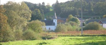
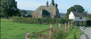
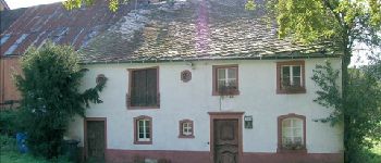
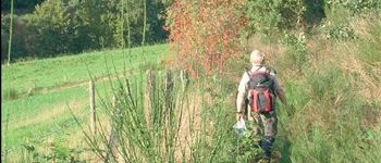
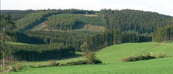
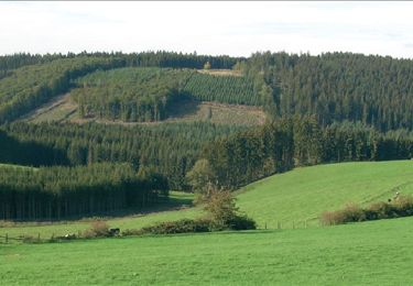
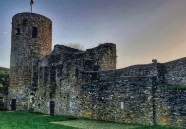
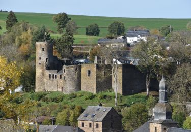
Dans le décor quasi-alpestre de la vallée de l’Our et de la région des Trois Frontières
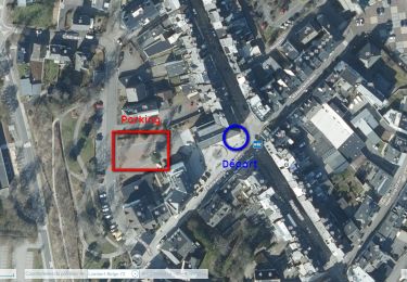
Neidingen – Lommersweiler – Hemmeres – Auel – Maspelt – Neidingen
Cartographie et documentation :
Carte IGN au 1 : 20 000, 56/7-8 « Burg-Reuland – Gross-Bohlscheid ».
Carte IGN de promenades au 1 : 25 000 « » (Tou. 0088)
Topo-guide du GR 56 « Cantons de l’Est et Parc naturel Hautes Fagnes – Nord-Eifel ».
Où se désaltérer et se restaurer :
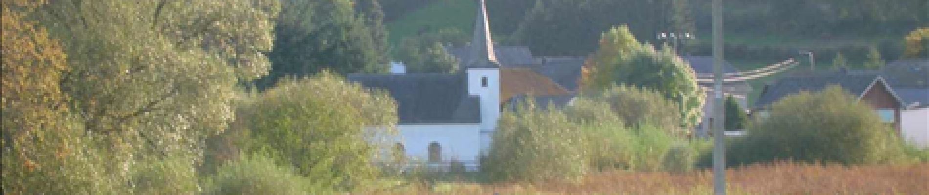
Il faudra vous rabattre sur la ville de Saint-Vith qui n’est qu’à quelques kilomètres.
Infos touristiques :
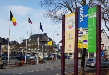
Syndicat d’Initiative de Saint-Vith : www.st.vith.be
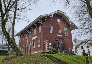
« Musée de la vie rurale » à 4780 Saint-Vith, Schwarzer Weg, 6 – www.zvs.be
« Musée de la Bière de Rodt », Rodt 89A, 4784Saint-Vith, www.biermuseum.be


Wandern
Wandern
Wandern
Wandern
Wandern
Wandern
Wandern
Zu Fuß
Wandern
Début de parcours sur un Ravel monotone et sans intérêt mais la suite est superbe sur de jolis chemins et sentiers campagnards. Magnifiques paysages. Et une belle fin de parcours 👌. Merci les SGR.