


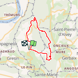

18,1 km | 26 km-effort


Benutzer


Kostenlosegpshiking-Anwendung
 SityTrail
IGN / Geografische Institute
SityTrail World
Die Welt öffnet sich für Sie
Tour Wandern von 12 km verfügbar auf Auvergne-Rhone-Alpen, Savoyen, Saint-Genix-les-Villages. Diese Tour wird von GGsavoie vorgeschlagen.
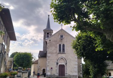
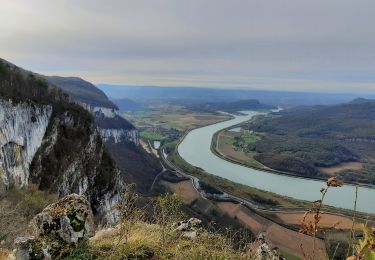
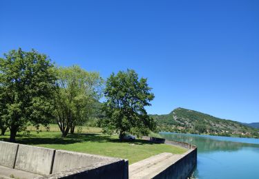
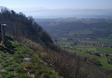
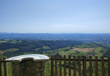
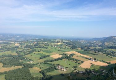
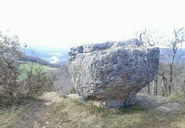
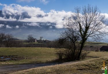
Au départ de Saint Maurice de Rotherens (Mairie), belle boucle de difficultés variées mais majoritairement facile. Beaux points de vue.
Une belle rando de début de saison.
Wandern
Wandern
Reiten
Wandern
Wandern
Reiten
Wandern
Wandern
Wandern