


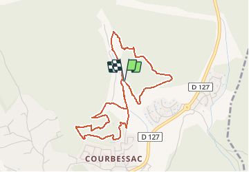


17,2 km | 22 km-effort


Benutzer


Kostenlosegpshiking-Anwendung
 SityTrail
IGN / Geografische Institute
SityTrail World
Die Welt öffnet sich für Sie
Tour Wandern von 5 km verfügbar auf Okzitanien, Gard, Nîmes. Diese Tour wird von PatCoria vorgeschlagen.
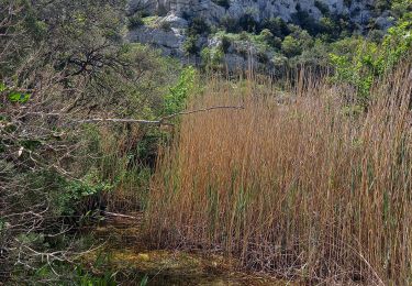
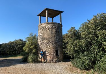
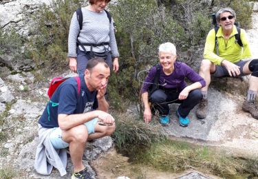
Départ du parking (coordonnées N 43.876205 - E 4.405510). Beau parcours à travers garrigue, oliviers, pinèdes. Vous y verrez des vestiges d'une ancienne exploitation agricole: tours, oratoire, capitelles ...
Wandern
Wandern
Wandern
Wandern

Wandern
Wandern
Wandern
Wandern