


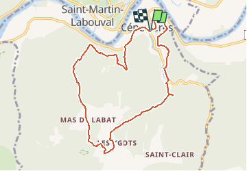


19,4 km | 28 km-effort


Benutzer


Kostenlosegpshiking-Anwendung
 SityTrail
IGN / Geografische Institute
SityTrail World
Die Welt öffnet sich für Sie
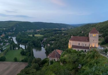
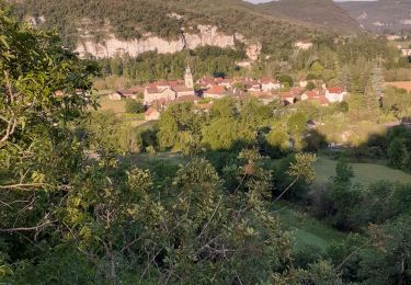
Tour Wandern von 9,6 km verfügbar auf Okzitanien, Lot, Cénevières. Diese Tour wird von gct vorgeschlagen.
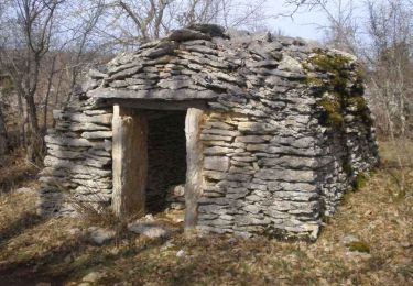
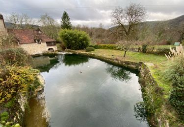
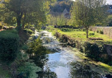
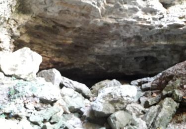
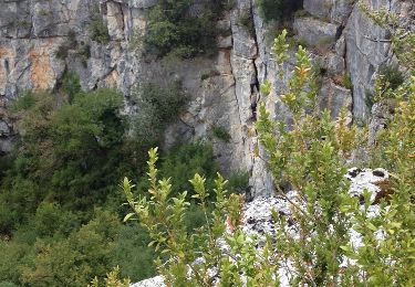
Points de vue sur la vallée du Lot, dolmen, pigeonnier, cazelles, puits, maisons typiques, résurgence du trou Madame, château de Cenevières
Wandern
Wandern
Wandern
Wandern
Wandern

Wandern
Wandern

Wandern
Wandern