


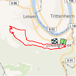

12,1 km | 16,6 km-effort

Benutzer GUIDE


Kostenlosegpshiking-Anwendung
 SityTrail
IGN / Geografische Institute
SityTrail World
Die Welt öffnet sich für Sie
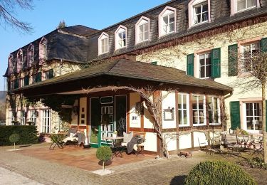
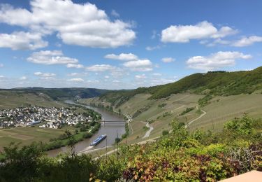
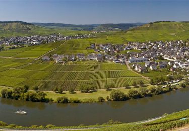
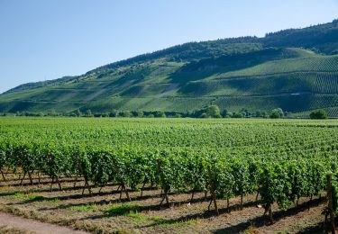
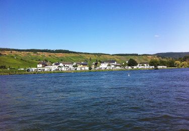
Tour Wandern von 6,7 km verfügbar auf Rheinland-Pfalz, Landkreis Trier-Saarburg, Leiwen. Diese Tour wird von rvapeldo vorgeschlagen.
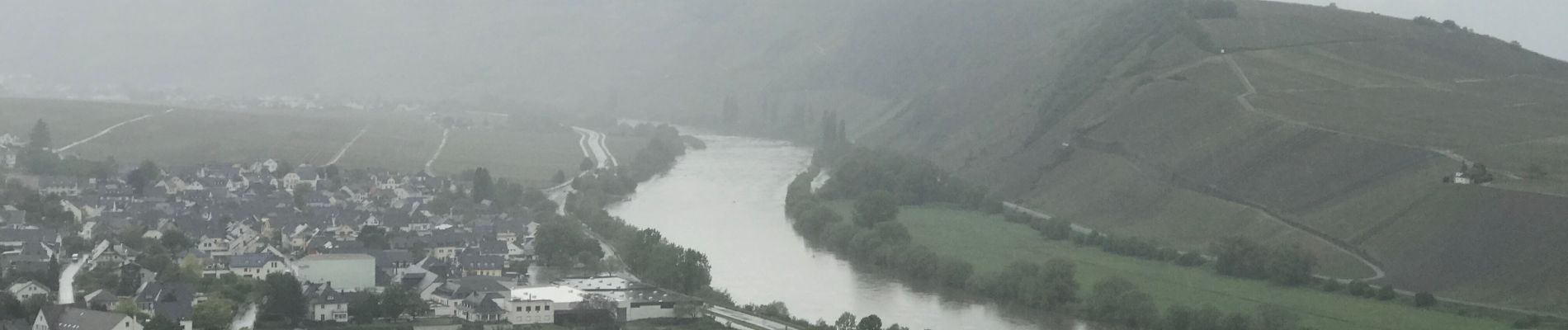
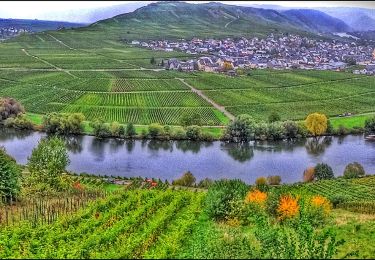
Promenade dans les hauteurs de Leiwin, au départ d’une zone où il y a des hôtels et des logements de type weingug (vignerons). Il démarre en crête dans les bois, puis serpente dans les vignes, en passant par une charmante chapelle.


Zu Fuß
Zu Fuß
Zu Fuß
Wandern

Wandern
Zu Fuß
Zu Fuß
Zu Fuß
Zu Fuß