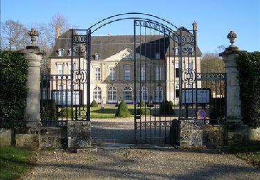
8,7 km | 10,4 km-effort
Chaumont en vexin - roche guyon
medhy60
Benutzer
Länge
72 km
Maximale Höhe
178 m
Positive Höhendifferenz
841 m
Km-Effort
83 km
Min. Höhe
20 m
Negative Höhendifferenz
841 m
Boucle
Ja
Erstellungsdatum :
2014-12-10 00:00:00.0
Letzte Änderung :
2014-12-10 00:00:00.0
4h46
Schwierigkeit : Medium
Kostenlosegpshiking-Anwendung
Über SityTrail
Tour Fahrrad von 72 km verfügbar auf Normandie, Eure, Gisors. Diese Tour wird von medhy60 vorgeschlagen.
Ort
Land:
France
Region :
Normandie
Abteilung/Provinz :
Eure
Kommune :
Gisors
Standort:
Unknown
Gehen Sie:(Dec)
Gehen Sie:(UTM)
411088 ; 5459221 (31U) N.
Kommentare
Touren in der Umgebung
Delincourt, Le Mesnil, Reilly, La vierge, Delincourt
Wandern
Medium
(1)
Delincourt,
Nordfrankreich,
Oise,
France
2h 16min
Ja
Boury en Vexin - Hérouval
Wandern
Einfach
(3)
Boury-en-Vexin,
Nordfrankreich,
Oise,
France
10,9 km | 12,9 km-effort
2h 49min
Ja
Bézu Saint Eloi - Départ du parking route de Gisors (place St Eloi), puis Nea...
Wandern
Medium
(1)
Bézu-Saint-Éloi,
Normandie,
Eure,
France
10,3 km | 12 km-effort
2h 43min
Ja
Marche Nordique 75 Boury en Vexin
Nordic Walking
Einfach
(1)
Boury-en-Vexin,
Nordfrankreich,
Oise,
France
10,3 km | 12,6 km-effort
1h 30min
Ja
Marche Nordique 71 Courcelles les Gisors
Nordic Walking
Sehr leicht
(2)
Courcelles-lès-Gisors,
Nordfrankreich,
Oise,
France
9,2 km | 10,9 km-effort
1h 26min
Ja
CHAMBORS - Lattainville-Delincourt-Reillly
Wandern
Sehr leicht
(1)
Chambors,
Nordfrankreich,
Oise,
France
12,3 km | 15,2 km-effort
2h 54min
Ja
Marche Nordique 61 Chambors
Nordic Walking
Einfach
(1)
Chambors,
Nordfrankreich,
Oise,
France
8,4 km | 10,3 km-effort
1h 30min
Ja
Trie Château - La vallée de l'Aunette
Wandern
Schwierig
(1)
Trie-Château,
Nordfrankreich,
Oise,
France
11,8 km | 13,7 km-effort
3h 0min
Ja
Chambors - le dolmen 12
Wandern
Einfach
(1)
Chambors,
Nordfrankreich,
Oise,
France
12,4 km | 16 km-effort
3h 31min
Ja