


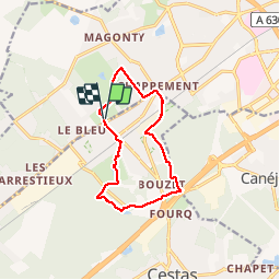

10,6 km | 11,7 km-effort


Benutzer


Kostenlosegpshiking-Anwendung
 SityTrail
IGN / Geografische Institute
SityTrail World
Die Welt öffnet sich für Sie
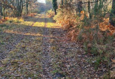
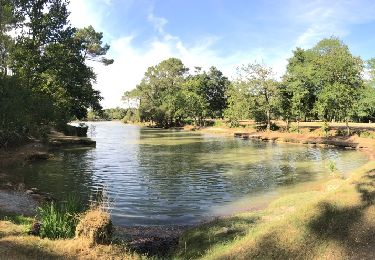
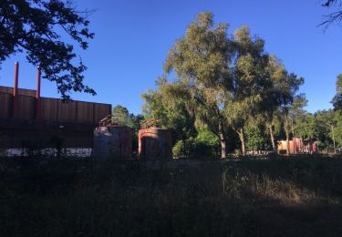
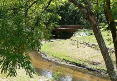
Tour Wandern von 11,4 km verfügbar auf Neu-Aquitanien, Gironde, Pessac. Diese Tour wird von Rosko65 vorgeschlagen.
A partir du parking du Bois de La Princesse (qui jouxte le Bois des sources du Peugue) parcours semi urbain à la découverte de petits lacs
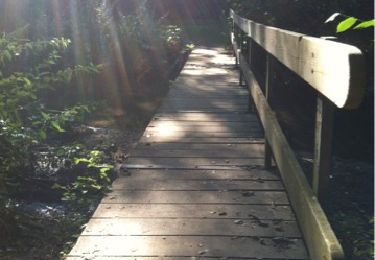
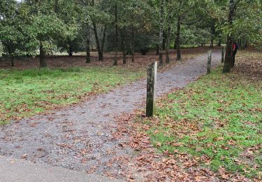
Wandern
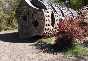
Wandern

Wandern
Nordic Walking
Nordic Walking
Wandern
Wandern
Wandern
Wandern