


12,7 km | 13,4 km-effort


Benutzer


Kostenlosegpshiking-Anwendung
 SityTrail
IGN / Geografische Institute
SityTrail World
Die Welt öffnet sich für Sie
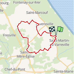
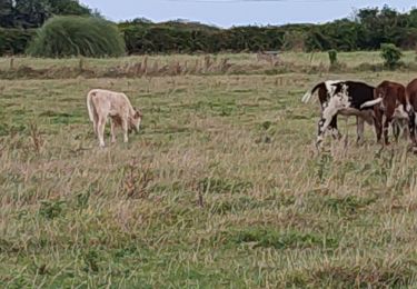
Tour Pferd von 26 km verfügbar auf Normandie, Manche, Saint-Germain-de-Varreville. Diese Tour wird von Bajac vorgeschlagen.
Boucle:
Départ de Saint Germain de Varreville, pique nique à la batterie d'Azerville, décroché par sainte Mère Eglise au choix...et retour à SGV
Wandern
Elektrofahrrad
Elektrofahrrad

Pferd
Wandern
Pferd
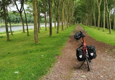
Radtourismus
Pferd

Wandern