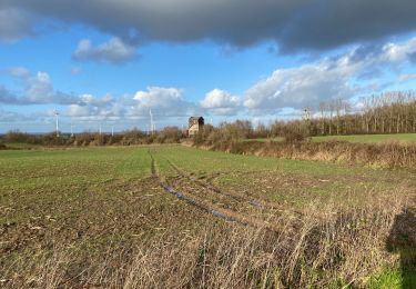
8 km | 9,4 km-effort


Benutzer


Kostenlosegpshiking-Anwendung
 SityTrail
IGN / Geografische Institute
SityTrail World
Die Welt öffnet sich für Sie
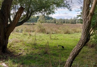
Tour Fahrrad von 28 km verfügbar auf Wallonien, Hennegau, Dour. Diese Tour wird von CorentinM vorgeschlagen.
Randonnée Vhello - Le réseau Points-Noeuds du Coeur du Hainaut.
N° à suivre : 84 - 91 - 4 - 2 - *a- 26 - *b - 19 - 55 - 91 - 84
*a Attention pour la visite de la Brasserie des Rocs, entre le PN 2 et 26: sortie du Réseau Points-noeuds. Au niveau de la Chaussée Brunehault, tourner à gauche: la Brasserie est située à 350 m.
*b Attention pour le repas, entre le PN 26 et 19: sortie du Réseau "points-nœuds". Au niveau de la rue de Montignies (juste après le pont qui passe au-dessus du RAVeL), tourner à gauche sur la rue de Montignies pendant 400m pour rejoindre la Chaussée Brunehaut.
Au carrefour rue de Montignies/Chaussée de Brunehaut, tourner à droite et continuer 450m sur la Chaussée Brunehaut pour rejoindre la Brasserie.
En sortant de la Brasserie, poursuivre 300m sur la Chaussée Brunehaut et prendre à droite sur rue de l'Eglise et ensuite prendre la 2e à gauche pour rejoindre la place d'Audregnies. Sur la Place d'Audregnies, vous êtes à nouveau sur le réseau "points-noeuds" et vous pouvez continuer votre route vers le PN 19.

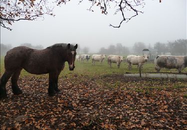
Wandern
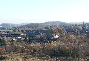
Wandern

Nordic Walking
Zu Fuß

Wandern
Wandern
Wandern