


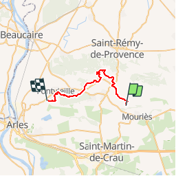


14,3 km | 18,7 km-effort

Benutzer GUIDE


Kostenlosegpshiking-Anwendung
 SityTrail
IGN / Geografische Institute
SityTrail World
Die Welt öffnet sich für Sie
Tour Reiten von 29 km verfügbar auf Provence-Alpes-Côte d'Azur, Bouches-du-Rhône, Maussane-les-Alpilles. Diese Tour wird von holtzv vorgeschlagen.
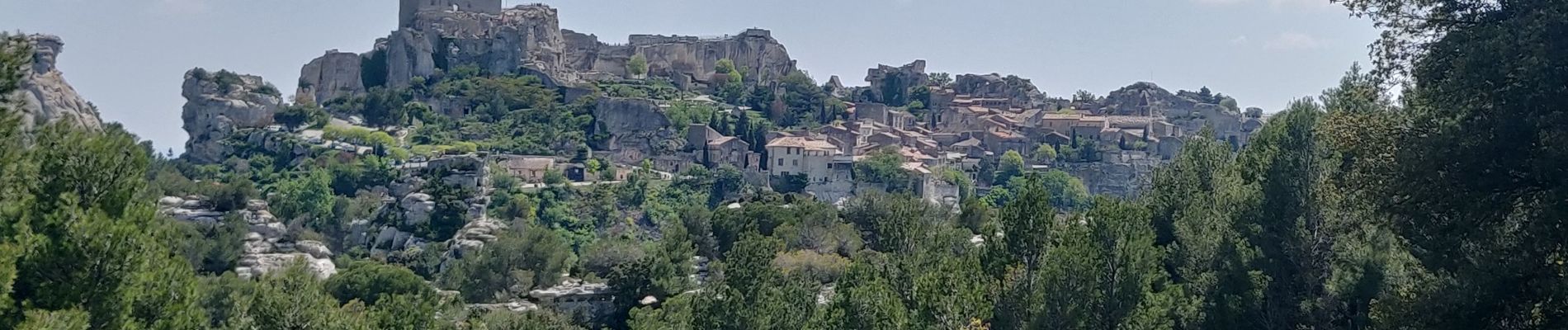
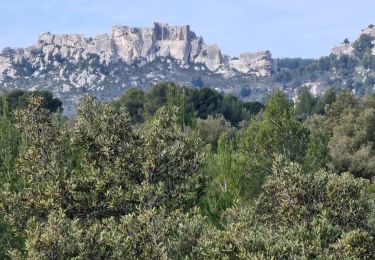
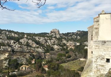
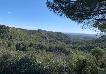
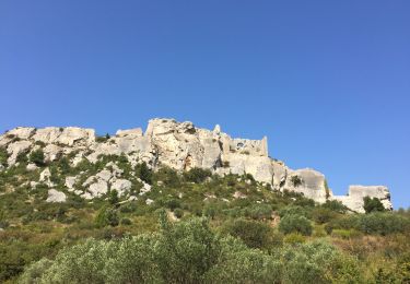
Visite des Baux de provence à pied durant la pause de midi
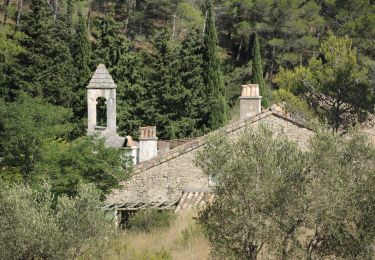
Passage par les moulins Daudet, Ramet et Tissot

Wandern
Wandern

Wandern
Wandern
Wandern
Wandern


sport
Wandern
Wandern