


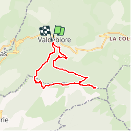

7,8 km | 16,3 km-effort

Benutzer


Kostenlosegpshiking-Anwendung
 SityTrail
IGN / Geografische Institute
SityTrail World
Die Welt öffnet sich für Sie
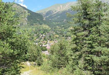
Tour Wandern von 14,8 km verfügbar auf Provence-Alpes-Côte d'Azur, Seealpen, Valdeblore. Diese Tour wird von GrouGary vorgeschlagen.
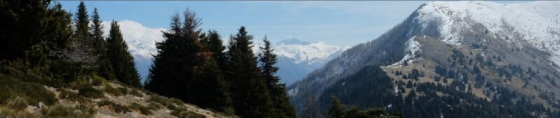
circuit départ église St Jacques de la Bolline,montée bois noir de Serena puis au dessus de Marie dans la foret de Lauzetta, plan d'Arous puis les pentes de Viroulet. Retour par col de la Madeleine et descente au collet du Puy. 1100


Wandern

Zu Fuß

Zu Fuß
Zu Fuß

Skiwanderen

Skiwanderen

Skiwanderen
Wandern
Wandern