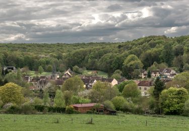
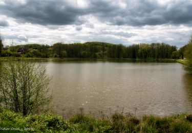
10,2 km | 12,2 km-effort
9725575-Pont Chartrain 12.81
togolo28
Benutzer
Länge
12,8 km
Maximale Höhe
240 m
Positive Höhendifferenz
231 m
Km-Effort
15,9 km
Min. Höhe
143 m
Negative Höhendifferenz
231 m
Boucle
Ja
Erstellungsdatum :
2019-03-25 12:09:10.967
Letzte Änderung :
2019-03-25 12:10:04.707
--
Schwierigkeit : Einfach
Kostenlosegpshiking-Anwendung
Über SityTrail
Tour Zu Fuß von 12,8 km verfügbar auf Normandie, Orne, La Madeleine-Bouvet. Diese Tour wird von togolo28 vorgeschlagen.
Ort
Land:
France
Region :
Normandie
Abteilung/Provinz :
Orne
Kommune :
La Madeleine-Bouvet
Standort:
Unknown
Gehen Sie:(Dec)
Gehen Sie:(UTM)
343472 ; 5370422 (31U) N.
Kommentare
Touren in der Umgebung
Les belles vues de Saint-Laumer et de la Madeleine Variante 10 Km
Wandern
Medium
(1)
La Madeleine-Bouvet,
Normandie,
Orne,
France
2h 41min
Ja
Les belles vues de Saint-Laumer et de la Madeleine 11 Km
Wandern
Schwierig
(1)
La Madeleine-Bouvet,
Normandie,
Orne,
France
10,9 km | 13,1 km-effort
2h 52min
Ja
BRETONCELLES ET SES HAMEAUX
Wandern
Medium
Bretoncelles,
Normandie,
Orne,
France
7,6 km | 9,2 km-effort
2h 5min
Ja
2023-05-20_10h18m41_Moutiers-au-Perche Rando de Samedi
Wandern
Medium
(1)
Moutiers-au-Perche,
Normandie,
Orne,
France
6,6 km | 8,8 km-effort
1h 59min
Ja
Perche authentique
Zu Fuß
Einfach
Moutiers-au-Perche,
Normandie,
Orne,
France
6,9 km | 9 km-effort
2h 2min
Ja
Bretoncelles - La Madeleine-Bouvet 5,3 km
Wandern
Medium
La Madeleine-Bouvet,
Normandie,
Orne,
France
5,3 km | 6,6 km-effort
1h 28min
Nein
SityTrail - Les Douves du Grand Cumont Bretoncelles V2 15 Km
Wandern
Schwierig
(1)
Bretoncelles,
Normandie,
Orne,
France
14,8 km | 18,1 km-effort
4h 4min
Ja
SityTrail - Le Petit Houx du Parc - Bretoncelles 5,1 Km
Wandern
Einfach
Bretoncelles,
Normandie,
Orne,
France
5,1 km | 6,2 km-effort
1h 20min
Ja
SityTrail - La boucle des Trois Moulins Bretoncelles 27,0 Km
Wandern
Sehr schwierig
Bretoncelles,
Normandie,
Orne,
France
27 km | 33 km-effort
7h 3min
Ja