


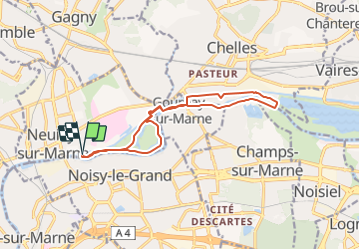

15,9 km | 17,1 km-effort


Benutzer


Kostenlosegpshiking-Anwendung
 SityTrail
IGN / Geografische Institute
SityTrail World
Die Welt öffnet sich für Sie
Tour Zu Fuß von 13 km verfügbar auf Île-de-France, Seine-Saint-Denis, Neuilly-sur-Marne. Diese Tour wird von jctinchebray vorgeschlagen.
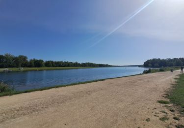
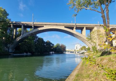
Randonnée boucle de 13km au départ de l'écluse de Neuilly sur marne et passant par la haute ile, les bords de marne et le canal.
Wandern

Wandern

Wandern
Zu Fuß

Wandern

Wandern

Mountainbike
Wandern

Wandern