


23 km | 27 km-effort

RCM ... l'esprit rando à vélo et à pied !


Kostenlosegpshiking-Anwendung
 SityTrail
IGN / Geografische Institute
SityTrail World
Die Welt öffnet sich für Sie
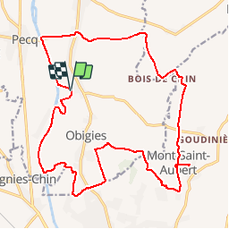
Tour Wandern von 21 km verfügbar auf Wallonien, Hennegau, Pecq. Diese Tour wird von Randonneur Club Marcquois vorgeschlagen.
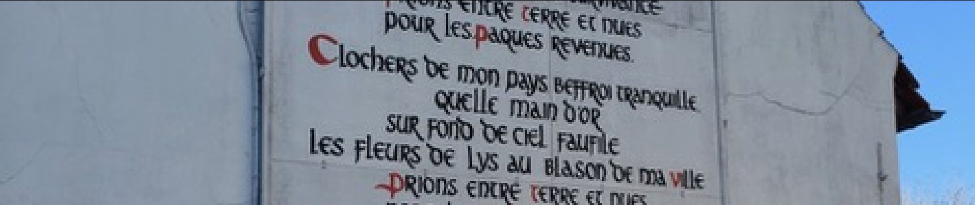
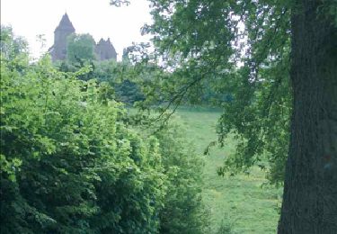
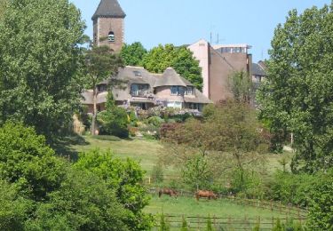
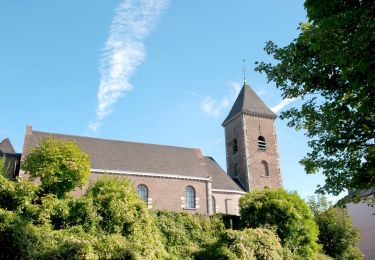
Au programme, nous longeons l’Escaut, nous « attaquons » le Mont Saint-Aubert (149 m) par la face Nord, chacun choisi son épigraphe sur le sentier des poètes, nous sortons notre pique-nique dans le salon d’un restaurant mis à notre disposition, nous faisons le tour de l’église puis nous quittons le Mont Saint-Aubert par le chemin des Pèlerins avec vue sur Tournai et les cinq tours de sa cathédrale pour rejoindre la Maison de Léaucourt, au bord d’un ancien méandre de l’Escaut où nous prenons un verre avant de nous quitter. Philippe


Wandern
Wandern
Zu Fuß

Zu Fuß

Wandern
Wandern

Reiten
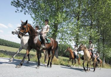
Pferd

Mountainbike