


11,5 km | 17,8 km-effort


Benutzer


Kostenlosegpshiking-Anwendung
 SityTrail
IGN / Geografische Institute
SityTrail World
Die Welt öffnet sich für Sie
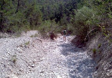
Tour Zu Fuß von 10,2 km verfügbar auf Provence-Alpes-Côte d'Azur, Seealpen, Saint-Auban. Diese Tour wird von verotrail vorgeschlagen.
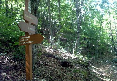
Entre 6,000 et 6,500 km prendre petit sentier cairné à gauche pour rattraper la piste (on quitte le GR)
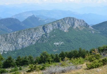
A 8 km dans la boucle on quitte la piste on marche à vue pour contourner la barre rocheuse , il y a des petits sentiers mais .....attention de ne pas descendre trop bas ,au bout de la barre rocheuse tourner plus vers la gauche pour reprendre le chemin du départ ...un peu hors circuit mais cela passe très bien
Zu Fuß
Wandern
Wandern
Wandern
Wandern

Zu Fuß
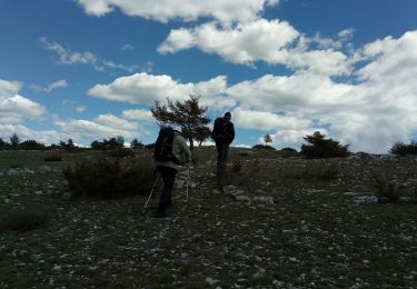
Wandern

Fahrrad
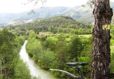
Mountainbike