![](/images/other/stat-length.png)
en forêt de Retz_76_dans les forêts de Retz et de Compiègne
en forêt de Retz
forêts de France
![Länge](/images/other/stat-length.png)
![Maximale Höhe](https://static1.geolcdn.com/siteimages/upload/files/1508320355ic_sort_altitude_max_24dp.png)
![Positive Höhendifferenz](https://static1.geolcdn.com/siteimages/upload/files/1508320355ic_sort_den_pos_24dp.png)
![Km-Effort](/images/other/stat-length.png)
![Min. Höhe](https://static1.geolcdn.com/siteimages/upload/files/1508320355ic_sort_altitude_min_24dp.png)
![Negative Höhendifferenz](https://static1.geolcdn.com/siteimages/upload/files/1508320355ic_sort_den_neg_24dp.png)
![Boucle](https://static1.geolcdn.com/siteimages/upload/files/16400158638029165_repeat_loop_refresh_sync_direction_icon.png)
![Wandern](https://static1.geolcdn.com/sitytour/trail-icons/101.png)
5h52
Schwierigkeit : Schwierig
![Scannen Sie diesen QR-Code, um die Tour in der SityTrail-Anwendung zu öffnen](https://capi.geolives.com/qq0zvz2zws4bq2lad0pu/sitytour/trails/2038487/qr.png?size=200)
Kostenlosegpshiking-Anwendung
Über SityTrail
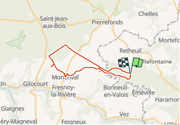
Tour Wandern von 22 km verfügbar auf Nordfrankreich, Aisne, Retheuil. Diese Tour wird von en forêt de Retz vorgeschlagen.
Beschreibung
02/ 2019
voir aussi: https://foret-de-retz.over-blog.com/2019/03/en-foret-de-retz_76_02_2019_dans-les-forets-de-retz-et-de-compiegne.html
batterie de recharge pour iphone indispensable.
rando classée très difficile (longueur).
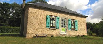
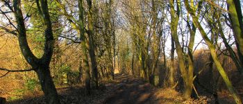
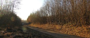
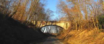
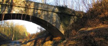
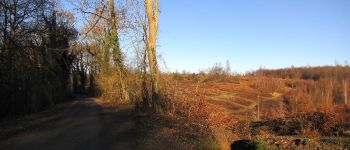
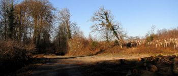
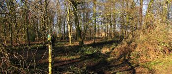
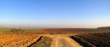
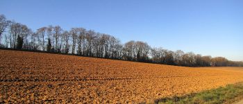
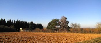
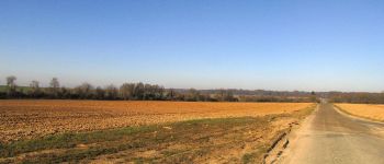
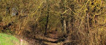
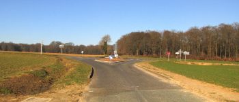
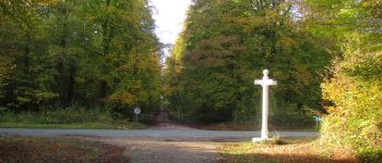
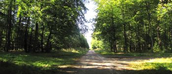
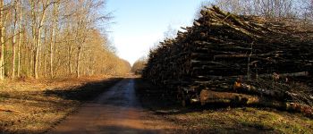
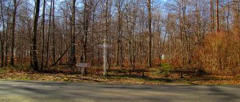
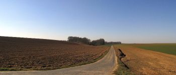
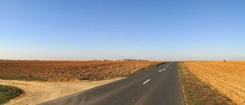
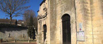
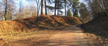
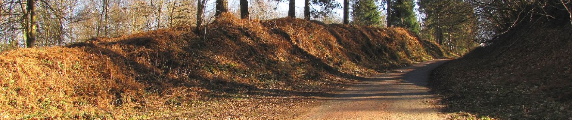
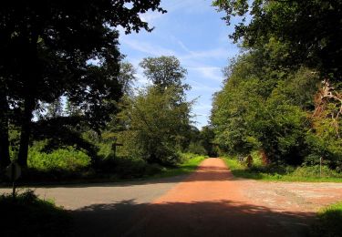
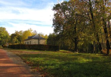
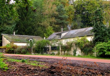
Au départ du carrefour de Montaigu (maison des chauves-souris dans la forêt de Retz), suivre la laie du Bois Hariez jusqu'au carrefour du Bois Hariez. Prendre la laie de la Santoire pour rejoindre le chemin du Pommier Walleyrand. Le suivre en remontant sur la droite et en allant jusqu'au bout de la forêt (Nord-Ouest). Tourner à droite puis à gauche sur la Route du Faîte (D33 à cet endroit). Continuer jusqu'au carrefour Eulalie (forêt de Compiègne). Tourner à gauche dans la Route de la Fortelle et la suivre jusqu'au carrefour de la Fortelle. Prendre à gauche la D163 (casse-croûte dans un buisson car beaucoup de vent). Traverser Morienval puis récupérer la D163 et traverser Brassoir. A la sortie, suivre un chemin en direction de la forêt de Retz. Récupérer la Route du Faîte pour revenir au carrefour de Montaigu.
POIs
Ort
Kommentare
Touren in der Umgebung
![Tour Wandern Haramont - 120522- - Photo](https://media.geolcdn.com/t/375/260/0db21b03-f3ca-4ca9-b378-1f72fc600f13.jpg&format=jpg&maxdim=2)
![Wandern Wandern](https://static1.geolcdn.com/sitytour/trail-icons/101.png)
Wandern
![](/images/other/stat-length.png)
![](https://static1.geolcdn.com/siteimages/upload/files/16400158638029165_repeat_loop_refresh_sync_direction_icon.png)
![Wandern Wandern](https://static1.geolcdn.com/sitytour/trail-icons/101.png)
Wandern
![](/images/other/stat-length.png)
![](https://static1.geolcdn.com/siteimages/upload/files/16400158638029165_repeat_loop_refresh_sync_direction_icon.png)
![Wandern Wandern](https://static1.geolcdn.com/sitytour/trail-icons/101.png)
Wandern
![](/images/other/stat-length.png)
![](https://static1.geolcdn.com/siteimages/upload/files/16400158638029165_repeat_loop_refresh_sync_direction_icon.png)
![Tour Wandern Haramont - en forêt de Retz_72_dans les forêts de Retz et de Compiègne - Photo](https://media.geolcdn.com/t/375/260/ext.jpg?maxdim=2&url=https%3A%2F%2Fservices.sitytrail.com%2FGeolivesWS%2FDownloadMedia.ashx%3FTrailID%3D1065984%26Media%3D1f92b939-d1c9-4e69-ab0c-7b00677e9a4a.JPG)
![Wandern Wandern](https://static1.geolcdn.com/sitytour/trail-icons/101.png)
Wandern
![](/images/other/stat-length.png)
![](https://static1.geolcdn.com/siteimages/upload/files/16400158638029165_repeat_loop_refresh_sync_direction_icon.png)
![Tour Wandern Taillefontaine - en foret de Retz_50_MF La Croix Morel_les Hauts de Retz_ancienne voie ferrée_AR - Photo](https://media.geolcdn.com/t/375/260/ext.jpg?maxdim=2&url=https%3A%2F%2Fservices.sitytrail.com%2FGeolivesWS%2FDownloadMedia.ashx%3FTrailID%3D670351%26Media%3D0523404c-29aa-4ed2-9b08-11ee07b7f726.JPG)
![Wandern Wandern](https://static1.geolcdn.com/sitytour/trail-icons/101.png)
Wandern
![](/images/other/stat-length.png)
![](https://static1.geolcdn.com/siteimages/upload/files/16400158638029165_repeat_loop_refresh_sync_direction_icon.png)
![Tour Wandern Taillefontaine - en forêt de Retz_44_laie des pots_2 - Photo](https://media.geolcdn.com/t/375/260/ext.jpg?maxdim=2&url=https%3A%2F%2Fservices.sitytrail.com%2FGeolivesWS%2FDownloadMedia.ashx%3FTrailID%3D553939%26Media%3D77bdb5d6-63c1-4e4b-93bc-a06fca9aec32.JPG)
![Wandern Wandern](https://static1.geolcdn.com/sitytour/trail-icons/101.png)
Wandern
![](/images/other/stat-length.png)
![](https://static1.geolcdn.com/siteimages/upload/files/16400158638029165_repeat_loop_refresh_sync_direction_icon.png)
![Tour Wandern Largny-sur-Automne - SityTrail - PN_LARGNY-sur-AUTOMNE_15,8kms_AD - Photo](https://media.geolcdn.com/t/375/260/c700e97c-bf93-4aad-955b-f4f5eb16263c.jpg&format=jpg&maxdim=2)
![Wandern Wandern](https://static1.geolcdn.com/sitytour/trail-icons/101.png)
Wandern
![](/images/other/stat-length.png)
![](https://static1.geolcdn.com/siteimages/upload/files/16400158638029165_repeat_loop_refresh_sync_direction_icon.png)
![Tour Wandern Vez - Vallée de l'automne - Photo](https://media.geolcdn.com/t/375/260/df34edad-de95-454e-96fb-fc9525e0bde6.jpg&format=jpg&maxdim=2)
![Wandern Wandern](https://static1.geolcdn.com/sitytour/trail-icons/101.png)
Wandern
![](/images/other/stat-length.png)
![](https://static1.geolcdn.com/siteimages/upload/files/16400158638029165_repeat_loop_refresh_sync_direction_icon.png)