


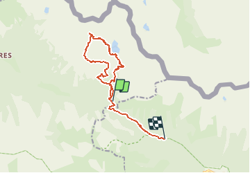

7,8 km | 16,3 km-effort


Benutzer


Kostenlosegpshiking-Anwendung
 SityTrail
IGN / Geografische Institute
SityTrail World
Die Welt öffnet sich für Sie
Tour Wandern von 13 km verfügbar auf Provence-Alpes-Côte d'Azur, Seealpen, Valdeblore. Diese Tour wird von rubentha vorgeschlagen.
Attention :
* le GPS s'est mis en marche au col de Salèse mais la promenade démarre au parking,
* une grande partie du parcours se déroule hors sentier (cailloux instables ... etc ...).

Wandern

Wandern

Zu Fuß

Zu Fuß

Zu Fuß

Wandern

Wandern
Wandern
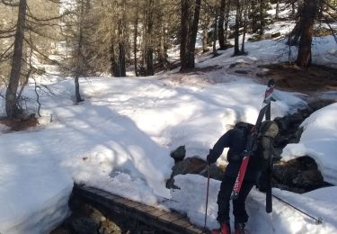
Skiwanderen