


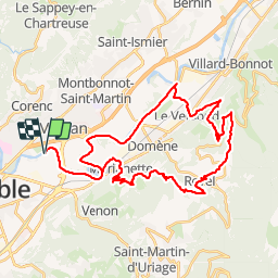

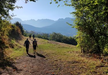
10,9 km | 26 km-effort

Le VAE, ça vous électrise !


Kostenlosegpshiking-Anwendung
 SityTrail
IGN / Geografische Institute
SityTrail World
Die Welt öffnet sich für Sie
Tour Hybrid-Bike von 43 km verfügbar auf Auvergne-Rhone-Alpen, Isère, Gières. Diese Tour wird von Balades tranquilles en VTTAE autour de Grenoble vorgeschlagen.
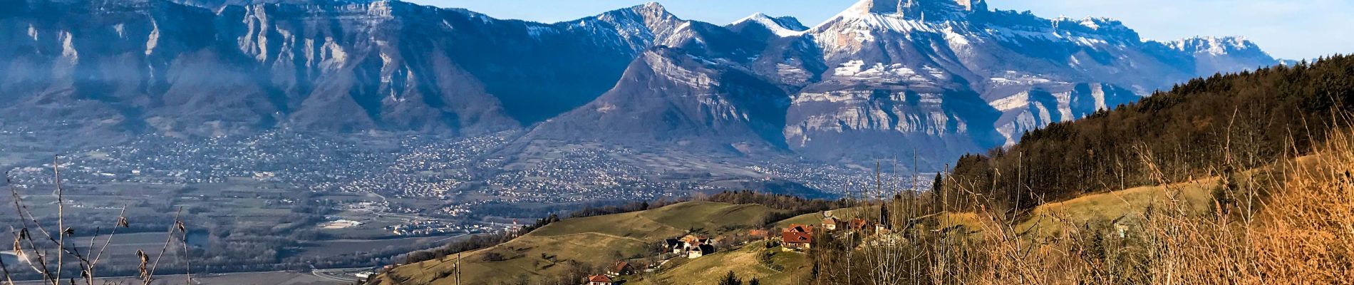
Des pistes sympa pour redescendre de Revel


Wandern

Mountainbike
Zu Fuß

Zu Fuß

Mountainbike
Wandern

Wandern
Wandern

Zu Fuß