


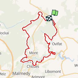


16,7 km | 22 km-effort

Benutzer

Kostenlosegpshiking-Anwendung
 SityTrail
IGN / Geografische Institute
SityTrail World
Die Welt öffnet sich für Sie
Tour Wandern von 40 km verfügbar auf Wallonien, Lüttich, Weismes. Diese Tour wird von mvrydagh vorgeschlagen.
Boucle utilisant le GR 56 et la variante Bayehon et Warche. Réalisée en 2 jours. Départ au signal de Botrange et nuit à l'AJ de Bevercé Malmédy.


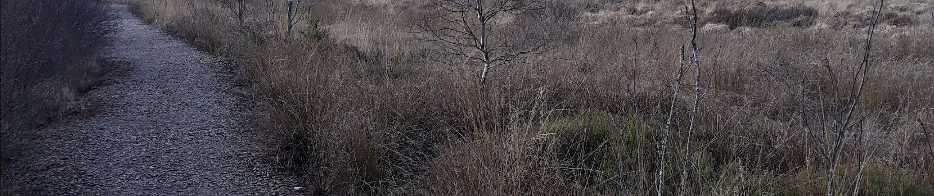
30 Fotos insgesamt. Klicken Sie auf ein Foto, um sie alle in der Galerie zu sehen.

Wandern

Wandern

Wandern


Wandern

Wandern
Wandern

Wandern

Wandern