


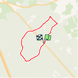


23 km | 29 km-effort
Passion Nature Contemplation


Kostenlosegpshiking-Anwendung
 SityTrail
IGN / Geografische Institute
SityTrail World
Die Welt öffnet sich für Sie
Tour Wandern von 5,1 km verfügbar auf Wallonien, Luxemburg, Habich. Diese Tour wird von Gaume tranquille vorgeschlagen.
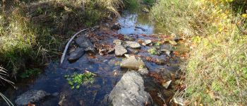
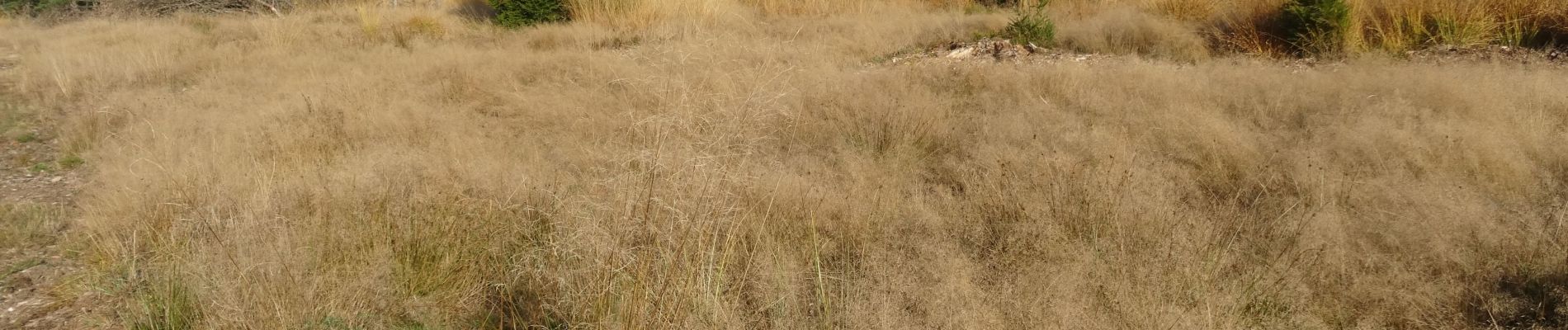
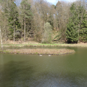
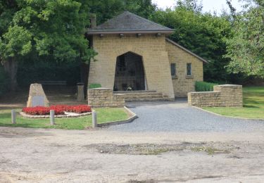
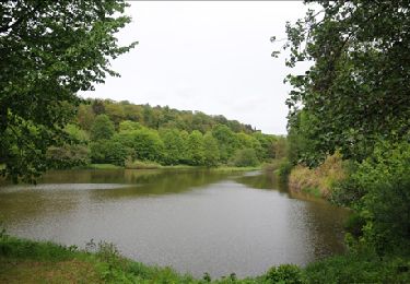
Petite balade qui fait découvrir une foret exceptionnelle de par sa diversité biologique.Très sympa Lieux à protéger......au plus vite.


Wandern
Wandern
Wandern

Reiten

Fahrrad

Pferd

Wandern

Mountainbike

Wandern