


8,5 km | 16 km-effort

Benutzer


Kostenlosegpshiking-Anwendung
 SityTrail
IGN / Geografische Institute
SityTrail World
Die Welt öffnet sich für Sie
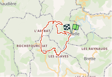
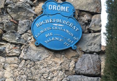
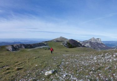
Tour Wandern von 14,7 km verfügbar auf Auvergne-Rhone-Alpen, Drôme, Pradelle. Diese Tour wird von Philindy26 vorgeschlagen.
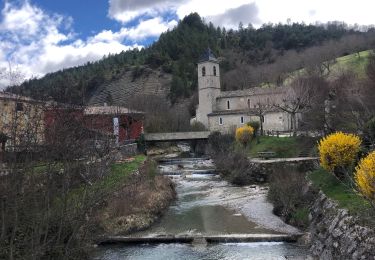
Départ de Pradelle, vallée de la Roanne (503 m)...
Géolocalisation (Google Maps) : https://goo.gl/maps/o1psbN4dsXJVLkxQ7 .
Prendre la direction des Graves (540 m) en suivant la route départementale n° 135 au sud…
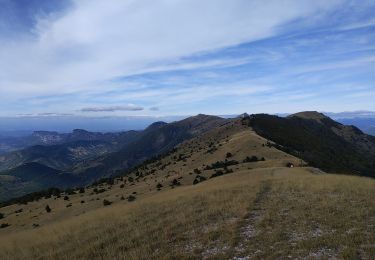
Montée par les Terrot (575 m), Giry (711 m), les Chauvins (655 m), l'Aribat (794 m) et le col de Trépalon (986 m).
Descente sur Pradelle par le Ribal (866 m) et le Fay (Ruines) (750 m).


Wandern

Wandern
Wandern
Wandern
Wandern
Wandern
Wandern
Wandern
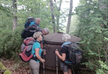
Wandern