


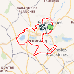

9,8 km | 12,1 km-effort

Benutzer


Kostenlosegpshiking-Anwendung
 SityTrail
IGN / Geografische Institute
SityTrail World
Die Welt öffnet sich für Sie
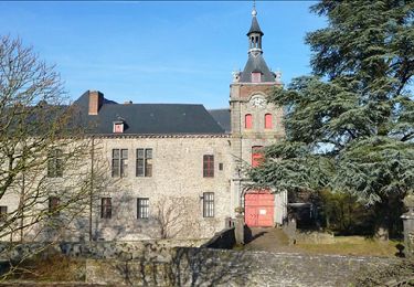
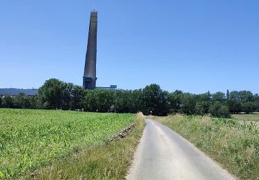
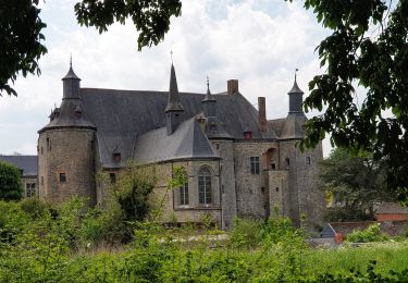
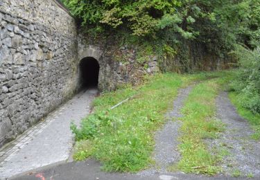
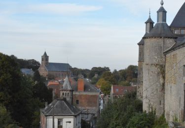
Tour Wandern von 15,7 km verfügbar auf Wallonien, Hennegau, Écaussinnes. Diese Tour wird von Decelle vorgeschlagen.
Randonnée pédestre gratuite en allure libre.
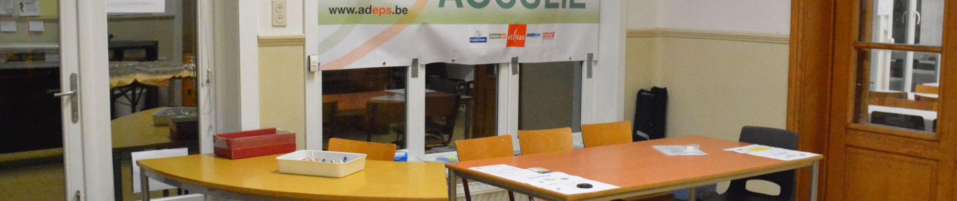
L'inscription à l'accueil est obligatoire et gratuite pour bénéficier de l'assurance accident.
Les bénéfices sont entièrement consacrés à la St Nicolas des enfants du Gai Logis.
Boissons et petites restaurations disponibles

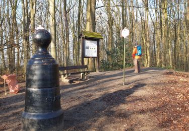
Wandern
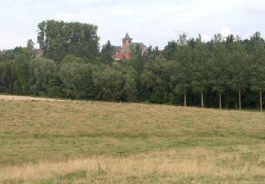
Wandern
Wandern
Wandern
Wandern
Wandern

Wandern
Wandern
Wandern