


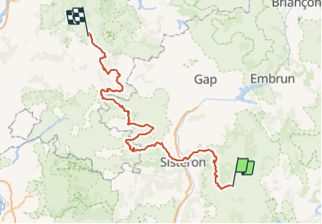

15,4 km | 29 km-effort

Benutzer


Kostenlosegpshiking-Anwendung
 SityTrail
IGN / Geografische Institute
SityTrail World
Die Welt öffnet sich für Sie
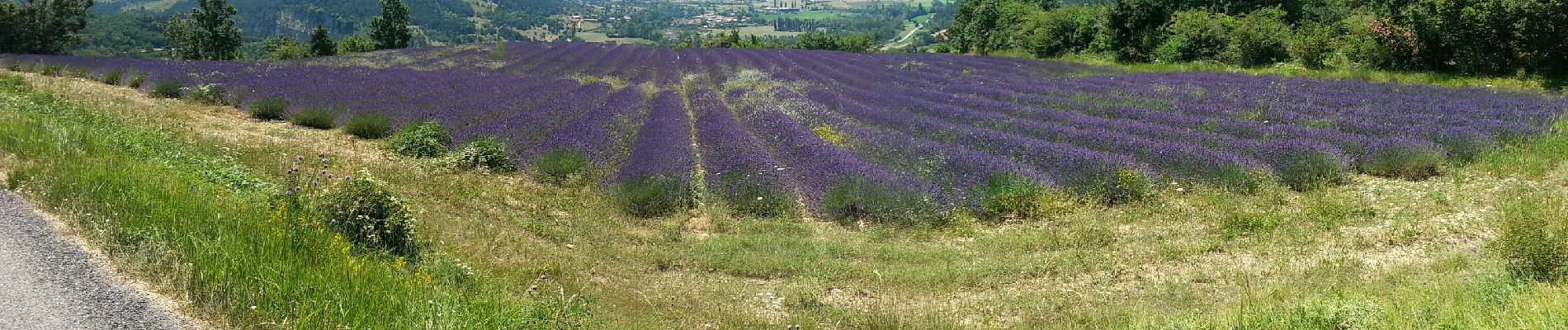
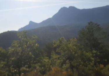
Tour Motorrad von 247 km verfügbar auf Provence-Alpes-Côte d'Azur, Alpes-de-Haute-Provence, Digne-les-Bains. Diese Tour wird von lagardienne vorgeschlagen.
Grande traversée des Alpes et Petites Routes du Soleil effectuées en moto.
Plus de détail sur http://lejardindelolo.fr/
3079 km en 12 jours, avec une Varadéro 125.


Wandern

Wandern

Wandern

Wandern

Wandern
Wandern

Wandern

Wandern

Mountainbike