


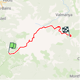

11,5 km | 21 km-effort


Benutzer


Kostenlosegpshiking-Anwendung
 SityTrail
IGN / Geografische Institute
SityTrail World
Die Welt öffnet sich für Sie
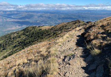
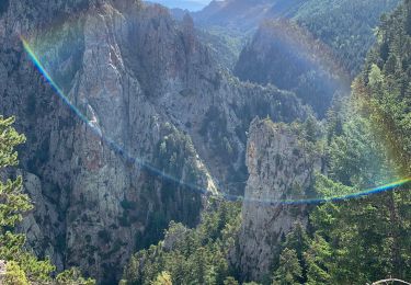
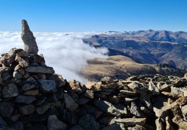
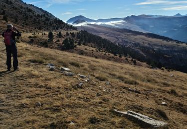
Tour Wandern von 18,5 km verfügbar auf Okzitanien, Ostpyrenäen, Py. Diese Tour wird von arremoulit vorgeschlagen.
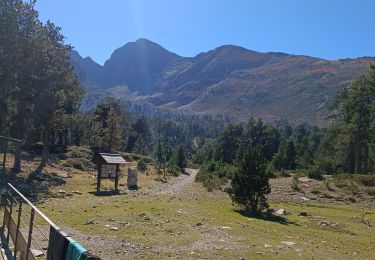
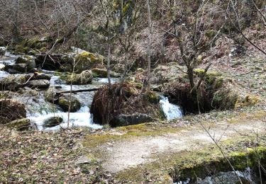
erreur de parcours au porteille de leca . le ravin est un vrai ravin!!!!!, prendre le roc negre si le temps le permet. ce n'était pas le cas pour nous.
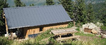
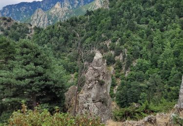
L'accueil au refuge de batère est vraiment exellent.


Wandern
Wandern
Wandern
Wandern
Wandern
Wandern
Wandern
Wandern
Wandern