


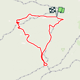

12,6 km | 16,9 km-effort

Benutzer


Kostenlosegpshiking-Anwendung
 SityTrail
IGN / Geografische Institute
SityTrail World
Die Welt öffnet sich für Sie
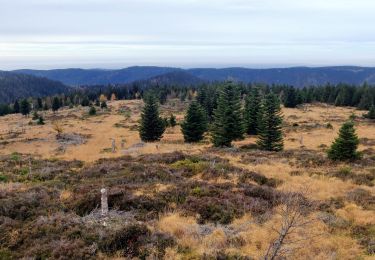
Tour Wandern von 16,8 km verfügbar auf Großer Osten, Vogesen, Moussey. Diese Tour wird von VacheKiri67 vorgeschlagen.
Distance 16,8km - Dénivelée 660m
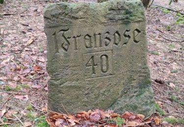
Balisage : anneau bleu - disque rouge - triangle rouge - croix rouge.
Faite le 16/06/2013 en 6h55 (dont 1h00 de pause) avec notre fils de 8 ans, son Papy et sa Mamie.


Wandern

Wandern

Wandern
Wandern
Wandern
Wandern
Wandern

Wandern
Wandern
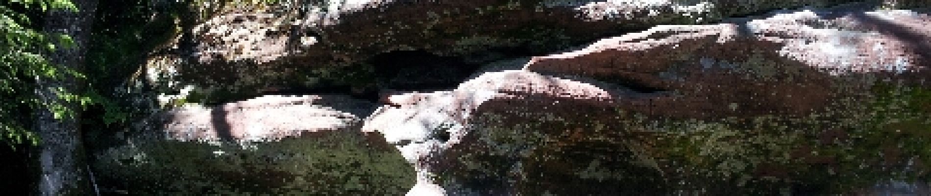
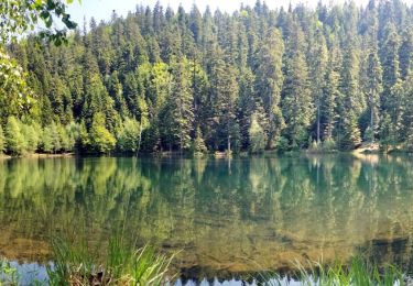
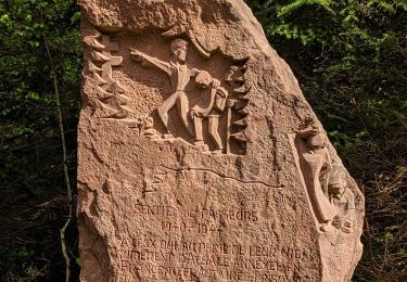
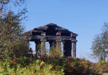
Un randonnée magnifique dans le massif des Blanches-Roches.