


15,1 km | 26 km-effort

Benutzer


Kostenlosegpshiking-Anwendung
 SityTrail
IGN / Geografische Institute
SityTrail World
Die Welt öffnet sich für Sie
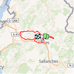
Tour Fahrrad von 72 km verfügbar auf Auvergne-Rhone-Alpen, Hochsavoyen, Scionzier. Diese Tour wird von tracegps vorgeschlagen.
Départ de Cluses, direction Marignier. Première difficulté avec la côte d'Ayze puis descente sur Bonnevile. Seconde difficulté à la côte d'Hyot jusqu’à Faucigny. On prend la direction de St Jeoire puis on suit la vallée du Giffre jusqu'à Morillon. Dernière difficulté pour le retour, le col de Chatillon et descente sur Cluses.

Wandern
Wandern
Wandern
Wandern
Wandern
Wandern
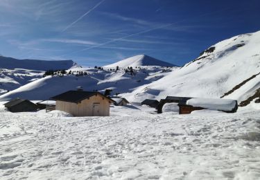
Schneeschuhwandern
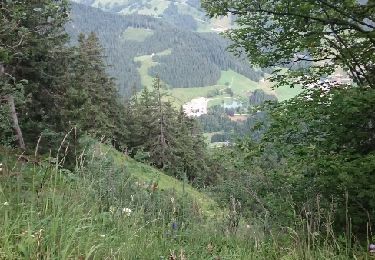
Wandern
Andere Aktivitäten