


14,1 km | 19,8 km-effort


Benutzer


Kostenlosegpshiking-Anwendung
 SityTrail
IGN / Geografische Institute
SityTrail World
Die Welt öffnet sich für Sie
Tour Wandern von 19,4 km verfügbar auf Okzitanien, Lot, Saint-Géry-Vers. Diese Tour wird von tracegps vorgeschlagen.
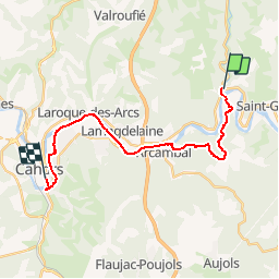
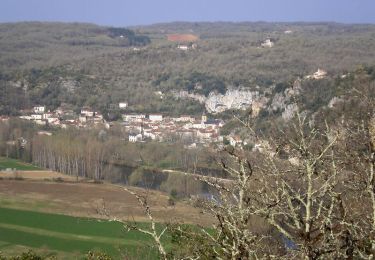
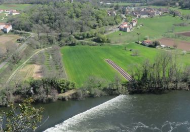
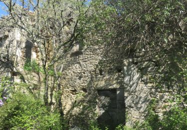
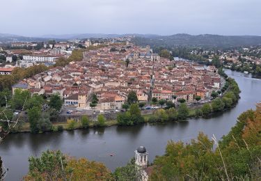
Étape 20 de la Via Arverna, chemin de Saint Jacques de Compostelle entre Clermont-Ferrand et Cahors. Dernière ligne droite se concluant par la fin de la Via Arverna à destination de Cahors. Le GR 36 et le Lot vous serviront de fil conducteur. Cette étape campagnarde sera une traversée des champs, de villages et de quelques chemins halage. L’arrivée sur la place Gambetta conclut un périple de plus de 500 km parcourus en 3 semaines ! Pour les plus courageux, il sera possible de suivre le GR 65 ou Via Podiensis en direction de Saint-Jacques-de-Compostelle. Il ne vous restera plus que 1 100 km à parcourir ! Retrouvez l'étape n° 20 sur le site de la «Via Arverna - chemin Saint-Jacques-de-Compostelle» ainsi qu'ICI sur le site de la « Via Arverna ».
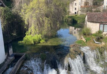
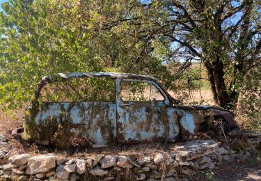
 - Photo 1")
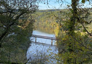
 - Photo 2")
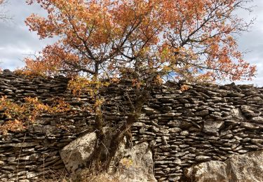
 - Photo 3")
 - Photo 4")
 - Photo 5")
 - Photo 6")
Wandern
Wandern
Wandern
Wandern
Wandern
Wandern
Wandern
Elektrofahrrad

Wandern