


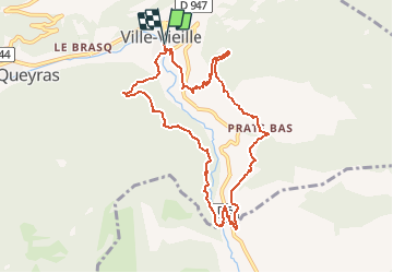

19,1 km | 36 km-effort

Benutzer


Kostenlosegpshiking-Anwendung
 SityTrail
IGN / Geografische Institute
SityTrail World
Die Welt öffnet sich für Sie
Tour Schneeschuhwandern von 9,8 km verfügbar auf Provence-Alpes-Côte d'Azur, Hochalpen, Château-Ville-Vieille. Diese Tour wird von tracegps vorgeschlagen.
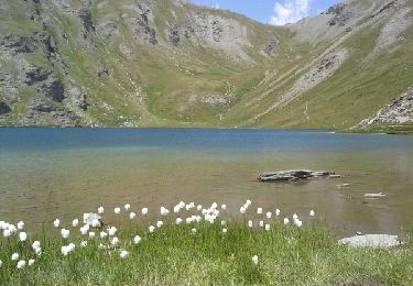
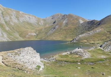
Belle balade avec un magnifique point de vue de la Demoiselle Coiffée ! Retrouvez d'autres infos sur le site web de Château Ville Vieille .


Wandern

Mountainbike

Wandern
Wandern
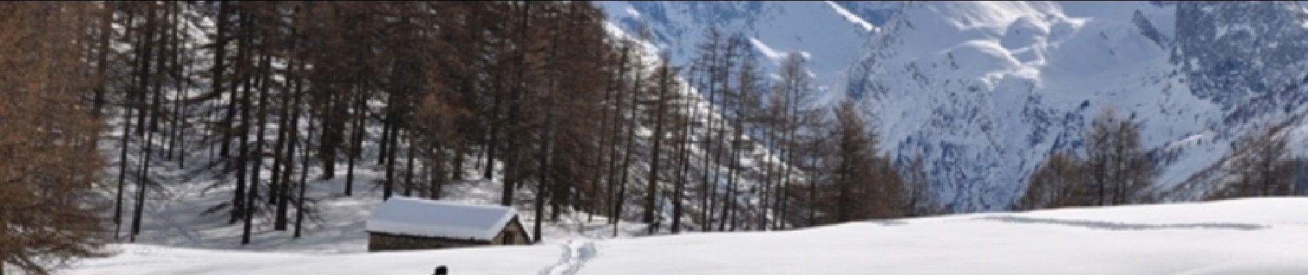
Schneeschuhwandern
Wandern

Wandern
Elektrofahrrad
Wandern