


9,7 km | 16,2 km-effort


Benutzer


Kostenlosegpshiking-Anwendung
 SityTrail
IGN / Geografische Institute
SityTrail World
Die Welt öffnet sich für Sie
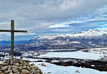
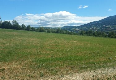
Tour Wandern von 8,9 km verfügbar auf Provence-Alpes-Côte d'Azur, Hochalpen, Forest-Saint-Julien. Diese Tour wird von bernardb2 vorgeschlagen.
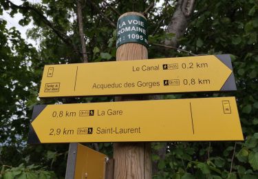
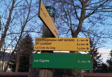
Parcours 9km bocage champsaurin trace de la ligne de chemin de fer gap la mure
Wandern

Wandern
Wandern
Wandern
Wandern
Wandern
Wandern
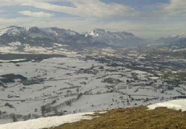
Schneeschuhwandern
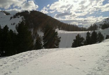
Schneeschuhwandern