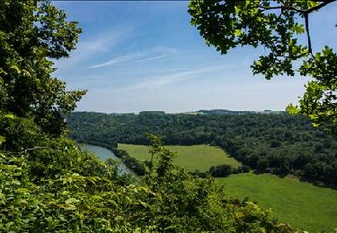
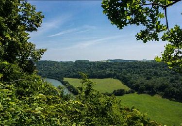
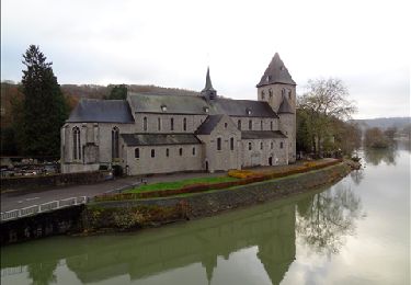
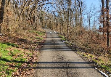
10,8 km | 13,8 km-effort
Hastiere
DoBelle
Benutzer
Länge
32 km
Maximale Höhe
231 m
Positive Höhendifferenz
647 m
Km-Effort
41 km
Min. Höhe
94 m
Negative Höhendifferenz
644 m
Boucle
Ja
Erstellungsdatum :
2014-12-10 00:00:00.0
Letzte Änderung :
2014-12-10 00:00:00.0
6h22
Schwierigkeit : Schwierig
Kostenlosegpshiking-Anwendung
Über SityTrail
Tour Wandern von 32 km verfügbar auf Wallonien, Namur, Hastière. Diese Tour wird von DoBelle vorgeschlagen.
Ort
Land:
Belgium
Region :
Wallonien
Abteilung/Provinz :
Namur
Kommune :
Hastière
Standort:
Hastière-Lavaux
Gehen Sie:(Dec)
Gehen Sie:(UTM)
630019 ; 5564055 (31U) N.
Kommentare
Touren in der Umgebung
RB-Na-10 Raccourci 2 - Sur les crêtes mosanes
Wandern
Einfach
(2)
Hastière,
Wallonien,
Namur,
Belgium
18,1 km | 25 km-effort
4h 29min
Ja
RB-Na-10 Raccourci 1 - Sur les crêtes mosanes
Wandern
Medium
(3)
Hastière,
Wallonien,
Namur,
Belgium
15,3 km | 21 km-effort
5h 28min
Ja
RB-Na-10 - Sur les crêtes mosanes
Wandern
Medium
(5)
Hastière,
Wallonien,
Namur,
Belgium
22 km | 29 km-effort
6h 21min
Ja
Hastiere, Entre mont et vallée
Wandern
Medium
(2)
Hastière,
Wallonien,
Namur,
Belgium
11,2 km | 14,3 km-effort
2h 5min
Ja
Balade de Hastière à Hermeton
Wandern
Einfach
(1)
Hastière,
Wallonien,
Namur,
Belgium
13,1 km | 16,8 km-effort
3h 37min
Ja
Waulsort - Circuit Natura 2000, des sites qui valent le détour - Na08
Wandern
Sehr leicht
(4)
Hastière,
Wallonien,
Namur,
Belgium
4,5 km | 6,9 km-effort
1h 40min
Ja
De Gochenee vers Soulme par la vallee de l'Ermeton
Wandern
Medium
(1)
Doische,
Wallonien,
Namur,
Belgium
18,5 km | 24 km-effort
4h 40min
Ja
De Gérin à Anthée par le village de Maurenne
Wandern
Medium
(1)
Onhaye,
Wallonien,
Namur,
Belgium
18,1 km | 23 km-effort
4h 10min
Ja
Vraiment une superbe marche, des paysages à vous couper le souffle ( mais attention on en a besoin )