


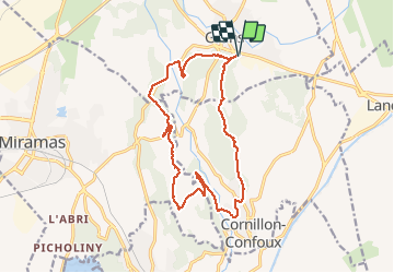

14,4 km | 18 km-effort


Benutzer


Kostenlosegpshiking-Anwendung
 SityTrail
IGN / Geografische Institute
SityTrail World
Die Welt öffnet sich für Sie
Tour Mountainbike von 17 km verfügbar auf Provence-Alpes-Côte d'Azur, Bouches-du-Rhône, Grans. Diese Tour wird von gloeren vorgeschlagen.
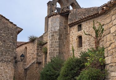
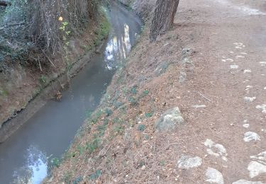
Départ de Grans, Passage par Lunard, descente de la Moria, passage a Cornillon-Confoux, puis Retour à Grans.
Wandern
Wandern
Wandern

Wandern
Wandern
Wandern
Wandern
Wandern
Wandern