


4,6 km | 7 km-effort


Benutzer


Kostenlosegpshiking-Anwendung
 SityTrail
IGN / Geografische Institute
SityTrail World
Die Welt öffnet sich für Sie
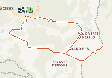
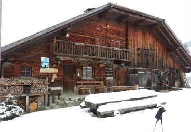
Tour Andere Aktivitäten von 12,3 km verfügbar auf Freiburg, Vivisbachbezirk, Châtel-Saint-Denis. Diese Tour wird von Romrando vorgeschlagen.
Source:geocities.com/romrando - 6.8.05
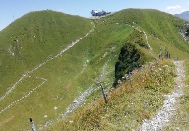
Sommet de beau caractère dominant Les Paccots. Parcours d''arête délicat et aérien sur la fin.
Itinéraire : Des Paccots par les Rosalys (parking) suivre la route vers l''E, passer "La Cuva" puis une épingle à cheveu puis dans un grand virage à droite quitter la route pour monter à droite par un sentier qui mène à un "petit col".
De là gagner directement le col de Lys.
Suivre ensuite l''arête vers le N, passer une première épaule, poursuivre l''arête pour buter contre un escarpement. Descendre à droite dans un couloir pour éviter ce ressaut par l''E puis suivre une sente qui ramène à l''arête. par un vague couloir herbeux équipé de câbles (attention au terrain très gras et glissant par temps humide !). Rejoindre le sommet par un parcours aérien.
Descendre par le même chemin jusqu''au "petit col". De là passer la crête vers l''W et se diriger vers le Pralet. Dans un collet suivre un sentier en descente vers l''W qui amène à "Grevalla-Dessus. De là retour aux Paccots par la "Borbuintze" et les "Joncs" ou directement sur les Rosalys.
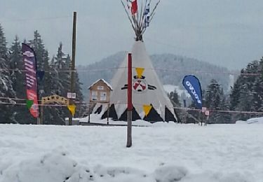
Schneeschuhwandern

Schneeschuhwandern
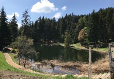
Wandern

Wandern
Wandern
Schneeschuhwandern

Andere Aktivitäten

Mountainbike

Wandern