


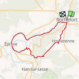


6 km | 7,1 km-effort


Randonnées de la Maison du Tourisme Famenne - Ardenne Ourthe & Lesse PRO


Kostenlosegpshiking-Anwendung
 SityTrail
IGN / Geografische Institute
SityTrail World
Die Welt öffnet sich für Sie
Tour Wandern von 14,1 km verfügbar auf Wallonien, Namur, Rochefort. Diese Tour wird von Maison du Tourisme Famenne - Ardenne Ourthe & Lesse vorgeschlagen.
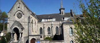
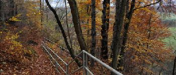
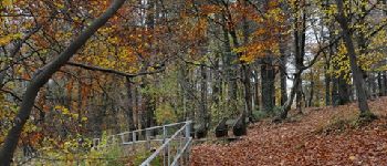
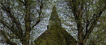
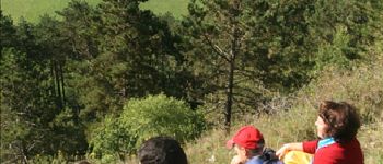
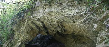
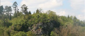
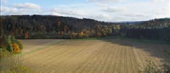
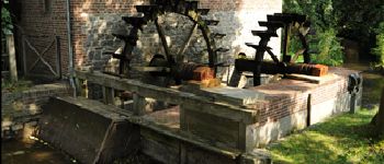
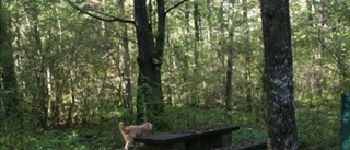
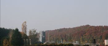
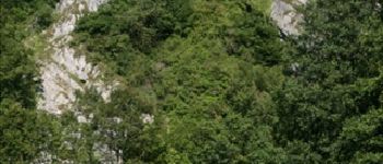
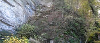
Lovely walk of about 14km during which you will discover the beautiful landscapes of this area with the breathtaking panoramas of the Belvédère and the Resurgence of Eprave, but also a wealth of local heritage.


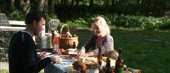
43 Fotos insgesamt. Klicken Sie auf ein Foto, um sie alle in der Galerie zu sehen.

Wandern

Wandern

Motor

Wandern

Wandern

Wandern

Motor

Wandern

Wandern
balade faite de 12km de bitume sur 14. dommage
beetje saai
Informatief en zeer duidelijk
Balade sympa au début. Quelques beaux points de vue et sites intéressants. Mais les 6 derniers km sur la route, sans aménagement pour piétons donc long et dangereux, avec pour seul panorama un moulin, une station d'épuration (véridique) et la nationale tout le long, le tout sans prévenir et sans possibilité de raccourci...
ludique
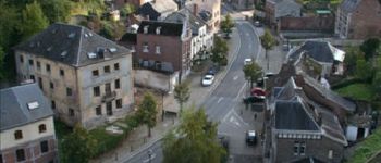
Rochefort
4
roche
Première partie très sympa mais les 6 derniers km se font sur route et à découvert. Dur dur par très beau temps.