


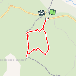

15,4 km | 26 km-effort

Benutzer


Kostenlosegpshiking-Anwendung
 SityTrail
IGN / Geografische Institute
SityTrail World
Die Welt öffnet sich für Sie
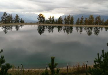
Tour Schneeschuhwandern von 3,3 km verfügbar auf Provence-Alpes-Côte d'Azur, Hochalpen, Ancelle. Diese Tour wird von will83 vorgeschlagen.
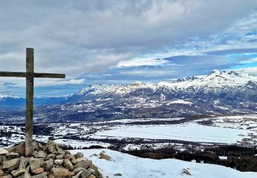
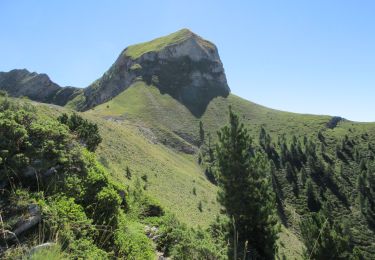
accès au point culminant par un des tracés le plus direct...court mais très physique... superbe descente dans le poudreuse


Laufen
Wandern
Wandern
Wandern

Schneeschuhwandern
Wandern
Wandern
Wandern
Wandern