


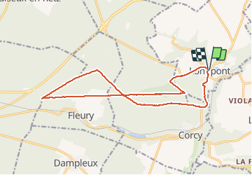


17,5 km | 21 km-effort

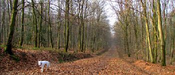
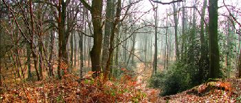
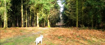
forêts de France


Kostenlosegpshiking-Anwendung
 SityTrail
IGN / Geografische Institute
SityTrail World
Die Welt öffnet sich für Sie
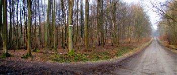
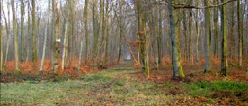
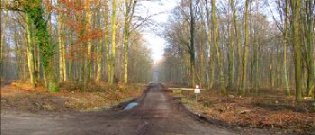
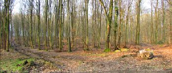
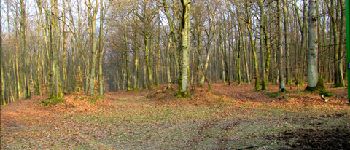
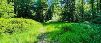
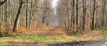
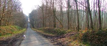
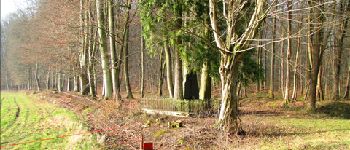
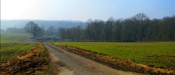
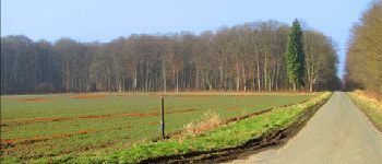
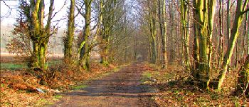
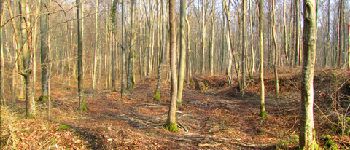
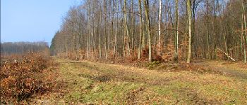
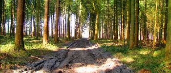
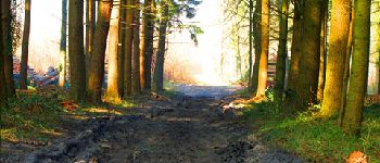
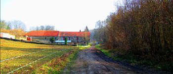
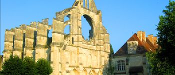
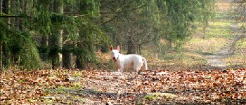
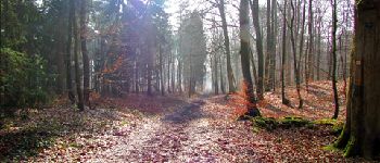
Tour Wandern von 16,3 km verfügbar auf Nordfrankreich, Aisne, Longpont. Diese Tour wird von en forêt de Retz vorgeschlagen.
voir aussi:
http://foret-de-retz.over-blog.com/
03/2013
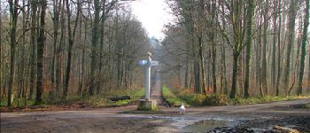
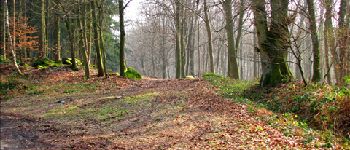
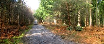
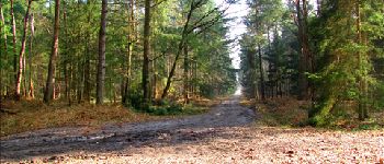
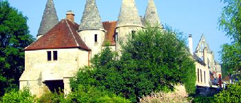
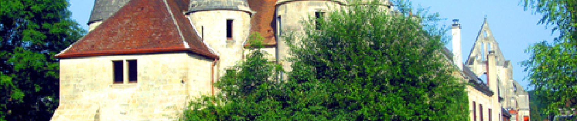
au départ de l''abbaye de Longpont, prendre la D2 en direction de Corcy. Puis prendre à droite la route du Faîte jusqu''à la Croix Bacquet. Suivre la route du Faîte jusqu''au carrefour des Princesses. Prendre la route de Chavigny jusqu''au rond d''Orléans puis suivre la route Chrétiennette jusqu''au carrefour de la Croix de Guise. Prendre la route du Pendu jusqu''à la Croix Bacquet. Suivre le vieux chemin de Longpont et après le carrefour de Château Renard, prendre la route du Pendu jusqu''au carrefour du Pendu. Prendre à gauche la laie de la Croix Pain tendre jusqu''au vieux chemin de Longpont (carrefour Gaudrillard). Rejoindre la D2 par le vieux chemin de Longpont puis Longpont.


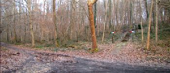
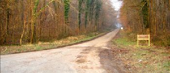
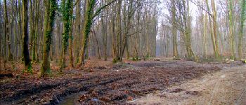
91 Fotos insgesamt. Klicken Sie auf ein Foto, um sie alle in der Galerie zu sehen.

Wandern

Wandern

Wandern

Zu Fuß

Zu Fuß

Wandern

Wandern

Wandern

Wandern