


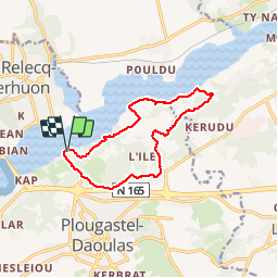


49 km | 61 km-effort

Promenez-vous au bout du monde !


Kostenlosegpshiking-Anwendung
 SityTrail
IGN / Geografische Institute
SityTrail World
Die Welt öffnet sich für Sie
Tour Wandern von 11,4 km verfügbar auf Bretagne, Finistère, Plougastel-Daoulas. Diese Tour wird von Balades en Finistère vorgeschlagen.
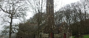
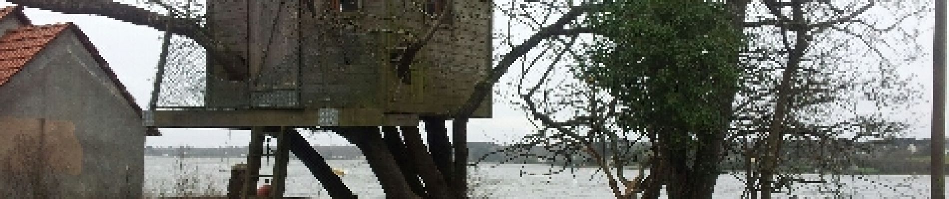
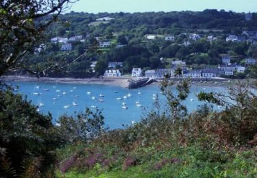
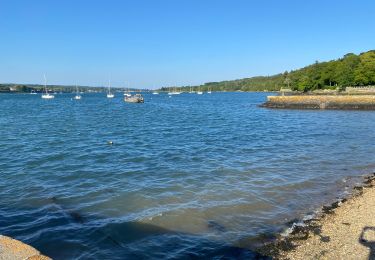
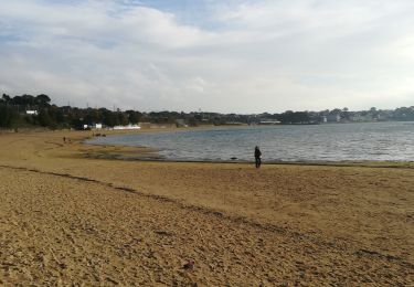
Du passage vers la chappelle Saint Jean le long de l'Elorn et retour par le Cosquer Saint Jean et Kervern. Très jolis panorama sur l'Elorn et l'Est de la rade de Brest


Mountainbike
Wandern

Wandern

Wandern
Wandern
Laufen
Wandern
Wandern
Wandern
Attention erreur dans ce circuit. Nous n’avons pas pu traverser au niveau du silo (voie privée) et avon du reprendre la grande route Landerneau/Plougastel pour retrouver notre véhicule. Résultat 20 kilomètres de marche au lieu de 11 kilomètres annoncés. Pas cool !