


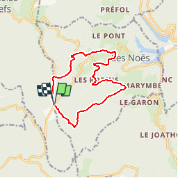

10,3 km | 14,8 km-effort

Benutzer


Kostenlosegpshiking-Anwendung
 SityTrail
IGN / Geografische Institute
SityTrail World
Die Welt öffnet sich für Sie
Tour Wandern von 12,2 km verfügbar auf Auvergne-Rhone-Alpen, Loire, Les Noës. Diese Tour wird von tracegps vorgeschlagen.
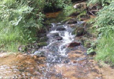
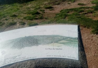
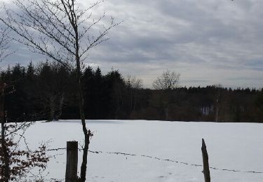
Départ du parking carrefour de la Grande Borne (limite département Allier/Loire). Parking en direction de Saint Nicolas des Biefs sur le sentier qui longe la départementale, puis suivre le balisage plaque jaune et blanche. Se rendre au hameau Bériche, les Forges, Chez Robin (route magique : vous laissez un véhicule ou un ballon ou quelque chose qui roule en bas de la côte et il remonte la côte tout seul sans moteur au lieu de descendre, étonnant non..) puis la forêt du Plan du Grand jusqu'à l'arrivée.


Wandern
Wandern
Wandern
Wandern
Wandern
Wandern
Schneeschuhwandern
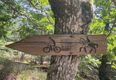
Mountainbike

Mountainbike
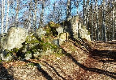
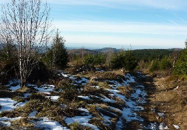
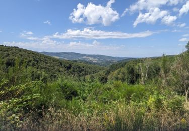
Magnifique parcours de randonnée
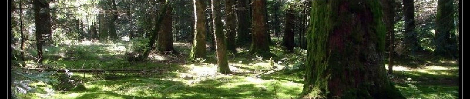
Balade essentiellement forestière (boisements monospécifiques de douglas) intéressante mais un peu monotone.
Balade essentiellement forestière (boisements monospécifiques de douglas) intéressante mais un peu monotone.