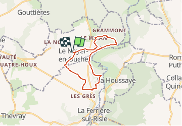


10,3 km | 11,8 km-effort

Benutzer


Kostenlosegpshiking-Anwendung
 SityTrail
IGN / Geografische Institute
SityTrail World
Die Welt öffnet sich für Sie
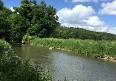
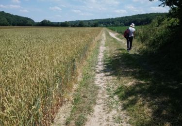
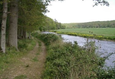
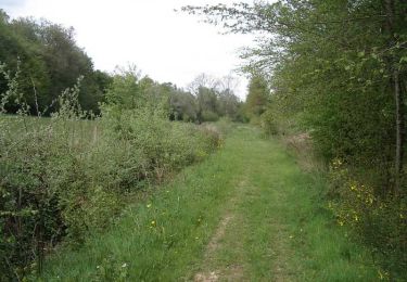
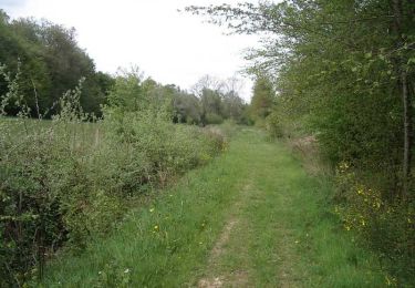
Tour Wandern von 10,3 km verfügbar auf Normandie, Eure, Le Noyer-en-Ouche. Diese Tour wird von tracegps vorgeschlagen.
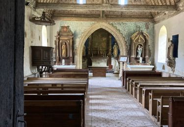
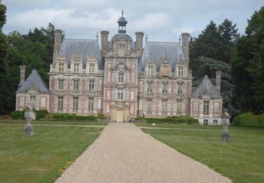
Départ de la mairie du Noyer en Ouche. A voir en chemin: l'église Notre Dame du XIXe et l'église de Mancelles. Retrouvez ce circuit, parmi 17 autres, sur le dépliant proposé par l’Office de Tourisme de Beaumesnil.


Wandern
Wandern

Wandern
Mountainbike
Wandern

Wandern