


6,5 km | 13,7 km-effort

Benutzer


Kostenlosegpshiking-Anwendung
 SityTrail
IGN / Geografische Institute
SityTrail World
Die Welt öffnet sich für Sie
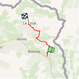
Tour Wandern von 12,1 km verfügbar auf Provence-Alpes-Côte d'Azur, Hochalpen, Abriès-Ristolas. Diese Tour wird von tracegps vorgeschlagen.
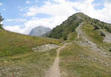
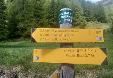
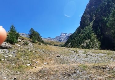
Etape 9: Pour cette étape, pas d’échauffement : une seule côte de 1000 mètres jusqu’au sommet de la Lauzière et ça commence à monter juste derrière le gîte ! Le GR58D attaque la pente le long du torrent de Chapelle qu’on abandonne 70 mètre plus haut pour bifurquer vers le nord-ouest. A 1850 mètres environ, cap à l’est vers les bois du Châtellard, plein nord de 2030 à 2340 mètres et enfin grossièrement nord-est jusqu’au sommet.Le GR suit les crêtes de Peyra Plata et de Gilly avec une vue bien dégagée notamment sur la vallée du Guil et Abriès. A la Colette de Gilly on laisse au nord-ouest la descente vers Ristolas et on bascule vers l’est puis le nord jusqu’à la jonction avec le GR58/58B, à 2000 mètres où l’on part plein ouest. Après 1 kilomètre en balcon on laisse à gauche le GR58/58B pour terminer la descente jusqu’au torrent de Bouchet au pied du Roux. Un petit raidillon plus tard on est arrivé au gîte.
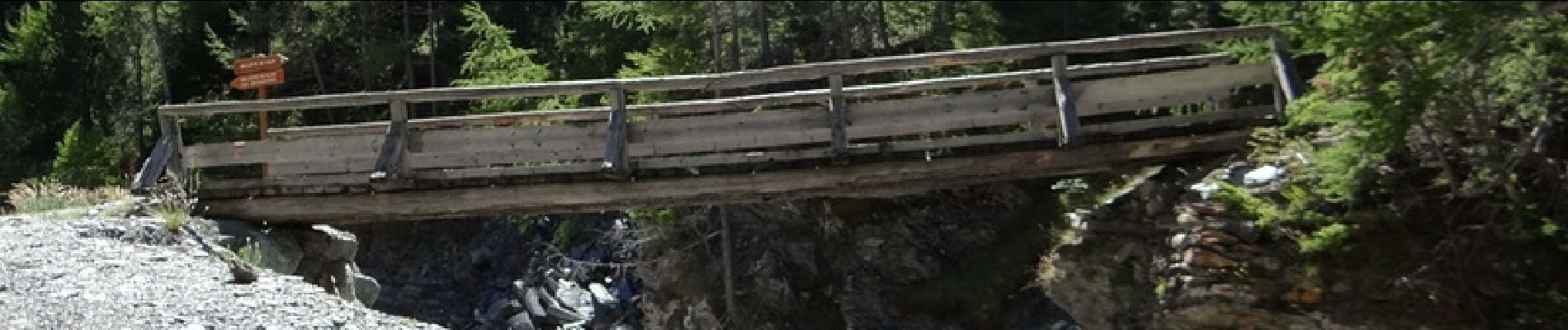
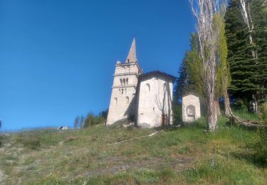
. - Photo 1")
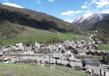
. - Photo 2")
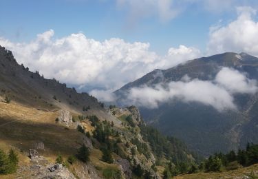
. - Photo 3")
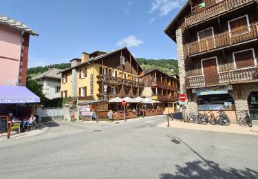
. - Photo 4")
. - Photo 5")
Wandern
Wandern

Wandern

Wandern
Wandern
Wandern
Wandern
Wandern
Wandern