


11,3 km | 15,2 km-effort


Benutzer


Kostenlosegpshiking-Anwendung
 SityTrail
IGN / Geografische Institute
SityTrail World
Die Welt öffnet sich für Sie
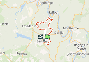
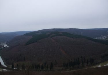
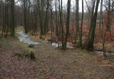
Tour Mountainbike von 21 km verfügbar auf Großer Osten, Ardennes, Sécheval. Diese Tour wird von tracegps vorgeschlagen.
Boucle forestière difficile en temps de pluies mais toujours roulante. Passage par un point de vue superbe sur la Meuse et chapelle sympathique. Deux passerelles de parc à gibier où il faut porter le vélo. Attention en période chasse surtout le dimanche.
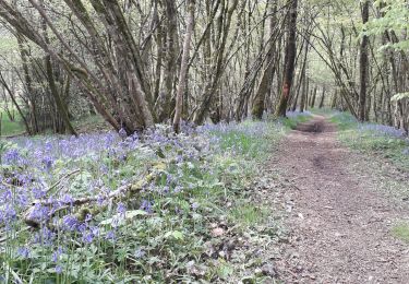
 - Photo 1")
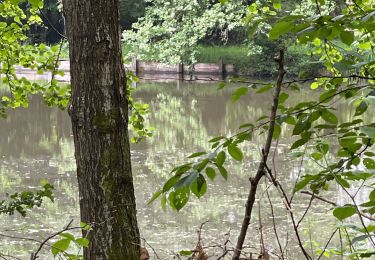
 - Photo 2")
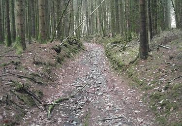
 - Photo 3")

Wandern
Wandern

Wandern
Wandern
Wandern
Wandern
Wandern
Wandern
Wandern