


12,3 km | 17 km-effort

Benutzer


Kostenlosegpshiking-Anwendung
 SityTrail
IGN / Geografische Institute
SityTrail World
Die Welt öffnet sich für Sie
Tour Wandern von 31 km verfügbar auf Auvergne-Rhone-Alpen, Puy-de-Dôme, Jumeaux. Diese Tour wird von tracegps vorgeschlagen.
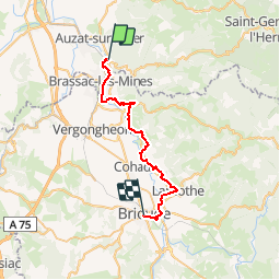
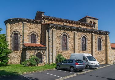
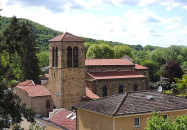
Etape 4 de la Via Arverna, chemin de Saint Jacques de Compostelle entre Clermont-Ferrand et Cahors. Départ du département Puy-de-Dôme pour une entrée de plain-pied dans celui de la Haute-Loire. A la sortie de Jumeaux, cheminement le long de l’Allier via Brassac-les-Mines. Ensuite, visite du vieux village d’Auzon, avant de rejoindre Allevier. Enfin, passage par la ville de Lamothe avec ses quelques maisons anciennes, son église et son château. Fin du périple dans l’ancienne ville de Brioude. Au cours de ce voyage, l’Allier servira de fil conducteur. Retrouvez l'étape n° 4 sur le site de la «Via Arverna - chemin Saint-Jacques-de-Compostelle» ainsi qu'ICI sur le site de la « Via Arverna ».
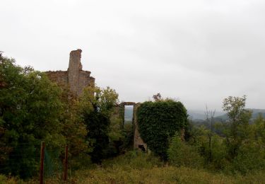
 - Photo 1")
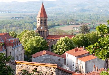
 - Photo 2")
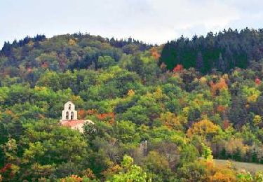
 - Photo 3")
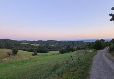
 - Photo 4")
 - Photo 5")
 - Photo 6")
Wandern
Zu Fuß
Zu Fuß

Quad
Wandern
Wandern
Wandern
Wandern
Wandern