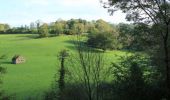
Tour Mountainbike Gavray-sur-Sienne - Randonnée autour de Gavray - Photo

Randonnée autour de Gavray

 tracegps
tracegps

Benutzer

© OpenStreetMap contributors
Länge
Länge
31 km
Maximale Höhe
Maximale Höhe
169 m
Positive Höhendifferenz
599 m
Km-Effort
Km-Effort  
39 km
Min. Höhe
Min. Höhe
27 m
Negative Höhendifferenz
596 m
Boucle
Boucle
Nein
Erstellungsdatum :
2014-12-10 00:00:00.0
Letzte Änderung :
2014-12-10 00:00:00.0

(0 Nachricht)

Mountainbike
Mountainbike
2h45
Schwierigkeit : Schwierig

Scannen Sie diesen QR-Code, um die Tour in der SityTrail-Anwendung zu öffnen

Kostenlosegpshiking-Anwendung

Logo SityTrail SityTrail

IGN / Geografische Institute

SityTrail aus dem App Store herunterladen SityTrail von Google Play herunterladen

Logo SityTrail SityTrail World

Die Welt öffnet sich für Sie

SityTrail aus dem App Store herunterladen SityTrail von Google Play herunterladen SityTrail auf Huawei AppGallery herunterladen

Über SityTrail

Tour Mountainbike von 31 km verfügbar auf Normandie, Manche, Gavray-sur-Sienne. Diese Tour wird von tracegps vorgeschlagen.

Beschreibung

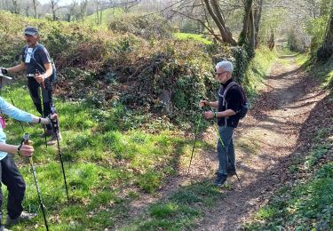
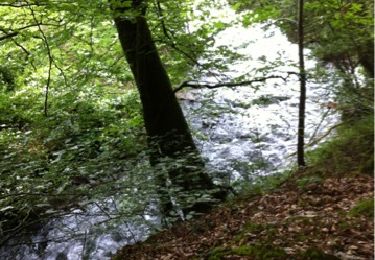
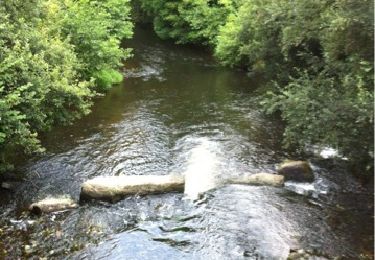
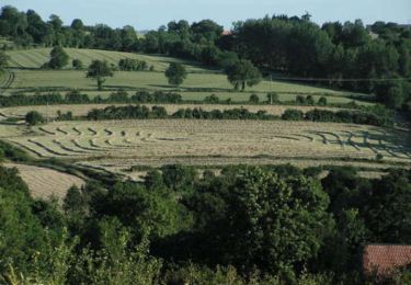
Sur ce parcoure vallonné, vous aurez le plaisir de traverser les trois principaux cours d'eau du canton de Gavray: l'Airou sur la commune de Ver, la Bérence sur la commune de Mesnil-Hue et la Sienne sur La Baleine et Gavray. Quelques montées éprouvantes par leur longueur. Beaucoup de plaisir à rouler dans les sous-bois et au bord des cours d'eau.

Höhenprofil

Foto-Galerie

Ort

Land:
France
Region :
Normandie
Abteilung/Provinz :
Manche
Kommune :
Gavray-sur-Sienne
Standort:
Gavray
Gehen Sie:(Dec)
Gehen Sie:(UTM)
620863 ; 5418416 (30U) N.

Touren in der Umgebung

Tour Nordic Walking La Baleine - gavray 9,3 km - Photo
Nordic Walking
coglais

Nordic Walking

Sehr leicht
(2)
La Baleine, Normandie, Manche, France
9,3 km | 12,1 km-effort
2h 27min
Ja
Tour Nordic Walking La Baleine - Gavray 7,5 km - Photo
Nordic Walking
coglais

Nordic Walking

Sehr leicht
(1)
La Baleine, Normandie, Manche, France
7,4 km | 9,8 km-effort
1h 56min
Ja
Tour Nordic Walking La Baleine - Gavray 8,5 km - Photo
Nordic Walking
coglais

Nordic Walking

Sehr leicht
(1)
La Baleine, Normandie, Manche, France
6 km | 8,1 km-effort
1h 56min
Ja
Tour Wandern Gavray-sur-Sienne - Gavray - Circuit long - Photo
Wandern
lionelnottat

Wandern

Sehr schwierig
(2)
Gavray-sur-Sienne, Normandie, Manche, France
16,6 km | 21 km-effort
4h 31min
Ja
Tour Mountainbike Gavray-sur-Sienne - gavray - Photo
Mountainbike
dumbell

Mountainbike

Sehr leicht
Gavray-sur-Sienne, Normandie, Manche, France
24 km | 29 km-effort
2h 31min
Ja
Tour Mountainbike Saint-Denis-le-Gast - gavray 2  - Photo
Mountainbike
dumbell

Mountainbike

Medium
Saint-Denis-le-Gast, Normandie, Manche, France
21 km | 26 km-effort
2h 4min
Ja
Tour Wandern Le Mesnil-Aubert - La Rue Cavée - Le Mesnil Aubert  - Photo
Wandern
tracegps

Wandern

Medium
Le Mesnil-Aubert, Normandie, Manche, France
10,1 km | 11,7 km-effort
2h 0min
Ja
Tour Nordic Walking La Baleine - gavray 12 km - Photo
Nordic Walking
coglais

Nordic Walking

Sehr leicht
(2)
La Baleine, Normandie, Manche, France
11,8 km | 15,4 km-effort
2h 27min
Ja
Tour Wandern Gavray-sur-Sienne - gavray - Photo
Wandern
lionelnottat

Wandern

Medium
Gavray-sur-Sienne, Normandie, Manche, France
15,5 km | 19,8 km-effort
3h 39min
Ja


Schließen
Meine Abonnements