
Balade St-Gillaise - St-Gilles

tracegps
Benutzer

Länge
23 km

Maximale Höhe
109 m

Positive Höhendifferenz
382 m

Km-Effort
28 km

Min. Höhe
4 m

Negative Höhendifferenz
382 m
Boucle
Ja
Erstellungsdatum :
2014-12-10 00:00:00.0
Letzte Änderung :
2014-12-10 00:00:00.0
2h30
Schwierigkeit : Medium

Kostenlosegpshiking-Anwendung
Über SityTrail
Tour Mountainbike von 23 km verfügbar auf Normandie, Manche, Saint-Gilles. Diese Tour wird von tracegps vorgeschlagen.
Beschreibung
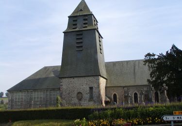
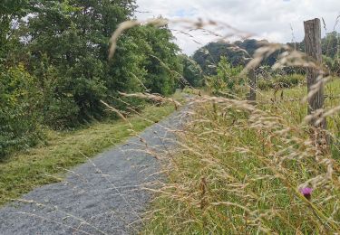
Balade de 23km sur route et chemin en bord de rivière à certains endroits. vous longerez aussi le chemin de halage. Randonnée sans grosse difficulté.
Ort
Land:
France
Region :
Normandie
Abteilung/Provinz :
Manche
Kommune :
Saint-Gilles
Standort:
Unknown
Gehen Sie:(Dec)
Gehen Sie:(UTM)
633149 ; 5440668 (30U) N.
Kommentare
Touren in der Umgebung

St Gilles Château de Canisy


Wandern
Sehr leicht
Saint-Gilles,
Normandie,
Manche,
France

9 km | 10,7 km-effort
2h 26min
Ja

L'Agnelaise 2014 - Agneaux


Mountainbike
Schwierig
Agneaux,
Normandie,
Manche,
France

44 km | 52 km-effort
3h 0min
Ja

Le circuit Jean Follain - Canisy


Wandern
Medium
Canisy,
Normandie,
Manche,
France

9,2 km | 10,9 km-effort
2h 19min
Ja

Vélomaritime_Cherbourg_Caen_#J4_20210708_Saint-Lô_-_Courson


Radtourismus
Sehr leicht
Saint-Lô,
Normandie,
Manche,
France

44 km | 51 km-effort
Unbekannt
Nein

Marathon Saint Lois -Agneaux


Mountainbike
Sehr schwierig
Agneaux,
Normandie,
Manche,
France

75 km | 92 km-effort
5h 0min
Ja

Le tour de Saint Lô en VTT


Mountainbike
Schwierig
Agneaux,
Normandie,
Manche,
France

44 km | 54 km-effort
3h 0min
Ja

VTT près d'Agneaux


Mountainbike
Schwierig
Agneaux,
Normandie,
Manche,
France

41 km | 49 km-effort
3h 0min
Nein

Marigny le lozon


Wandern
Medium
Marigny-Le-Lozon,
Normandie,
Manche,
France

10,3 km | 11,7 km-effort
2h 35min
Ja

Le Mesnil Hamey


Wandern
Medium
Le Mesnil-Amey,
Normandie,
Manche,
France

8,3 km | 9,9 km-effort
2h 41min
Nein


 SityTrail


