


90 km | 111 km-effort

Benutzer


Kostenlosegpshiking-Anwendung
 SityTrail
IGN / Geografische Institute
SityTrail World
Die Welt öffnet sich für Sie
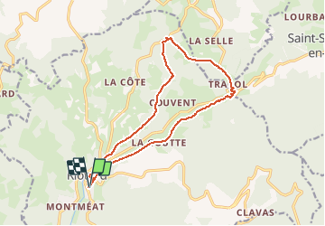
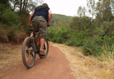
Tour Mountainbike von 14,8 km verfügbar auf Auvergne-Rhone-Alpen, Haute-Loire, Riotord. Diese Tour wird von tracegps vorgeschlagen.
Boucle autour de la vallée du ruisseau de St Meyras. Au départ, par la voie verte, puis montée au Tracol (1000 et 1100m). Retour par la rive droite sur Riotord. Gare aux cèpes !


Rennrad
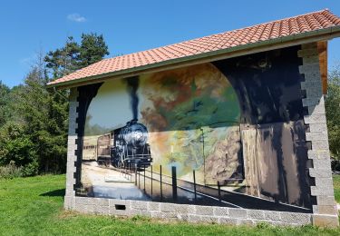
Wandern
Wandern
Mountainbike
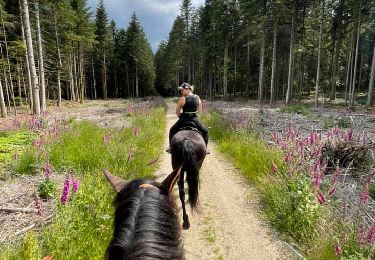
Reiten

Mountainbike

Mountainbike
Mountainbike

Mountainbike