


5,1 km | 8,9 km-effort

Benutzer


Kostenlosegpshiking-Anwendung
 SityTrail
IGN / Geografische Institute
SityTrail World
Die Welt öffnet sich für Sie
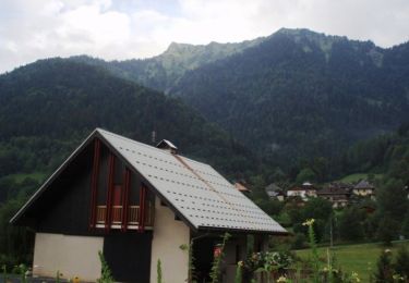
Tour Wandern von 15,4 km verfügbar auf Auvergne-Rhone-Alpen, Savoyen, Venthon. Diese Tour wird von tracegps vorgeschlagen.
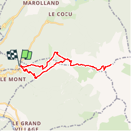
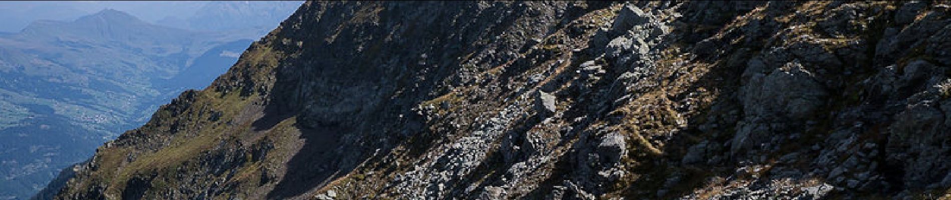
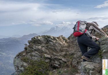
Beaufortain. Au-dessus du Fort du Mont, le Col des Cyclotouristes est le point de départ d'une longue randonnée intéressante et sauvage. Au Blockhaus des Têtes, l'itinéraire rejoint la crête de la Roche Pourrie qu'un sentier va suivre, jusqu'au sommet. La traversée par l'arête Est de la montagne, permet de rattraper le Tour du Beaufortin qui conduit au Pas de l'Âne par la Pointe Saint-Jean. Suit un parcours d'arête aérien qui conduit alors, au Mont Mirantin. Le retour se fait par le même itinéraire en passant par le Haut du Pré pour éviter la Roche Pourrie et dévaler directement sur le Blockhaus du Laitelet pour retrouver le point de départ. Description complète sur sentier-nature.com : Traversée de la Roche Pourrie, Mont Mirantin Avertissement [Franchissement 1/3 ; Exposition 2/3]. Certains passages de cet itinéraire de montagne sont escarpés et/ou très exposés, il est déconseillé aux enfants non accompagnés et aux personnes sujettes au vertige. Pour votre sécurité, nous vous invitons à respecter les règles suivantes : être bien chaussé, ne pas s'engager par mauvais temps, ne pas s'écarter de l'itinéraire ni des sentiers.

Wandern
Wandern

Fahrrad
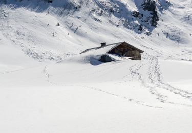
Schneeschuhwandern

Wandern
Wandern
Wandern

Wandern
Wandern