


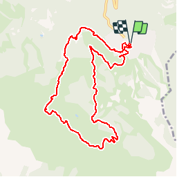


9,7 km | 15,9 km-effort

Benutzer


Kostenlosegpshiking-Anwendung
 SityTrail
IGN / Geografische Institute
SityTrail World
Die Welt öffnet sich für Sie
Tour Wandern von 10,3 km verfügbar auf Provence-Alpes-Côte d'Azur, Hochalpen, Risoul. Diese Tour wird von tracegps vorgeschlagen.
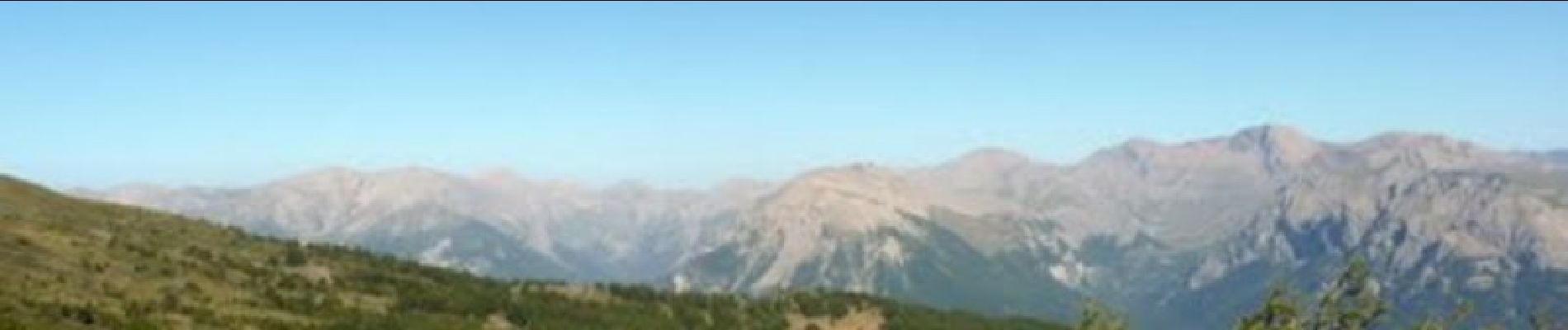
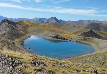
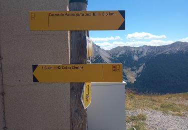
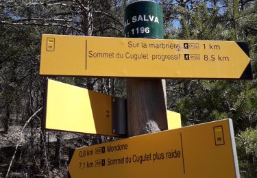
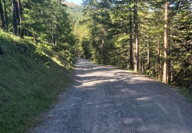
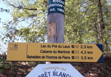
Départ du circuit de la station de Risoul. Montée en direction du col de Valbelle, col de Chérine. Prendre la direction du Belvédère de l'Homme de Pierre et redescendre sur la station.


Wandern

Wandern
Wandern

Wandern
Wandern
Wandern
Wandern
Wandern
Wandern